26 Sep La Palma eruption update 26th september 2021: New effusive vent at the base of the cone
La Palma eruption update 26th september 2021: New effusive vent at the base of the cone
Daily summary
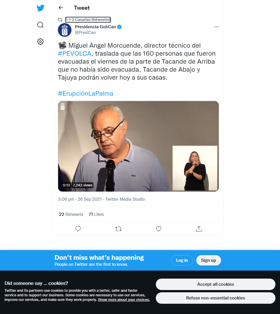
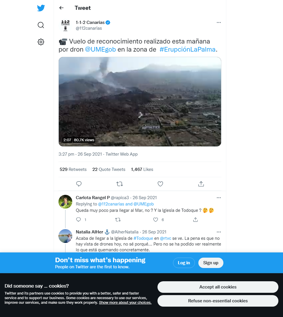
Based on the evolution of the eruption, the 160 residents evacuated from Tajuya and Tacande on the 24th can return to their homes. According to Maria Jose Blanco, this has been allowed by the lack of the instability seen in the cone on the 24th, as well as the relative stability of eruption parameters such as tremor which was elevated and unstable at the time the evacuation was first ordered. The eruption continues to show both Strombolian activity from 3 or more vents in the main cone, as well as more effusive Hawaiian activity from the vent at the base of the NW sector of the main cone. The lava from this effusive vent continues to feed two active lava flows; a southern flow at travelling at approximately 30 m per hour; and a more fluid flow to the north which has sped up and is travelling at around 100 m per hour and is expected to overrun the front of the older stalled lava flow front to the north according to modelling carried out by the authorities. At 8:15pm, the latter flow reached Todoque mountain, about 1,600 m from the coast.
Regarding geophysical signals volcanic tremor shows markedly more stability than previous days. The ash plume height exceeds 3300 m, although ongoing atmospheric conditions favour dispersion to the east and at lower levels (<1500 m), which has been seen as intense ashfall in some areas of the island. SO2 emissions from the volcano are lower but remain at relatively high levels, estimated at 16,380 tons per day. Deformation however is now showing a definite period of stability at all stations. Earthquake activity remains at a low level, showing a similar spatial distribution to the 25th. 4 events were recorded at around 10 km depth, peaking at 2.6 mbLg.
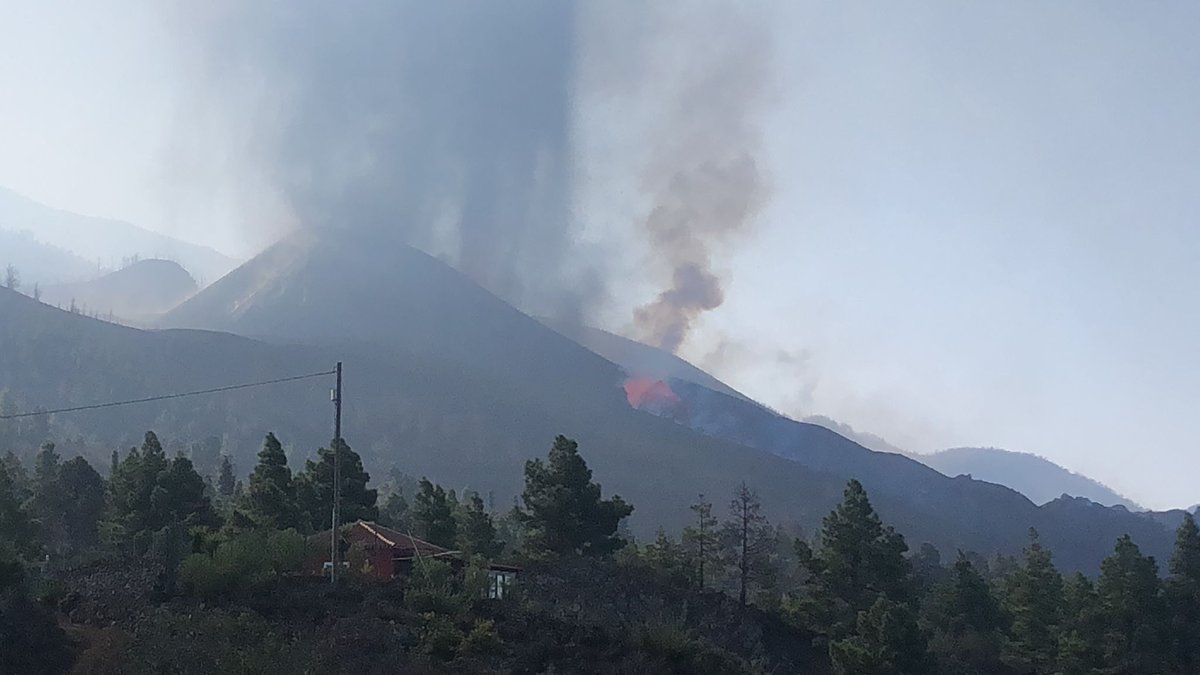
A picture of the eruption on the 26th showing the strombolian activity in the main cone (left) and the more effusive activity from the new vent on the flanks of the main cone (centre). Image credit: INVOLCAN
Sources: Government of the Canary Islands, PEVOLCA, Involcan, IGN, DSN, Cabildo La Palma, 112 Canarias, Tolouse VAAC
Lava flows

Earthquakes

Exclusion zone map
Exclusion zones shown here have been approximated from press releases from the Cabildo de La Palma and will not be exact, nor claim to be official maps of the exclusion zones. For official information, please contact the Cabildo de La Palma.

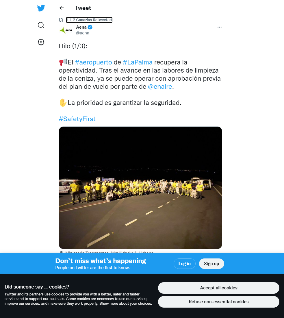
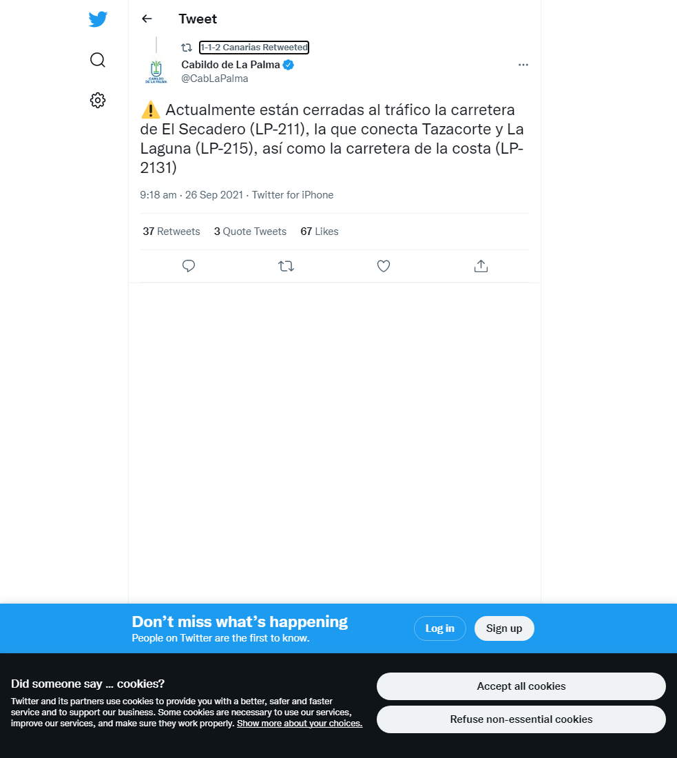
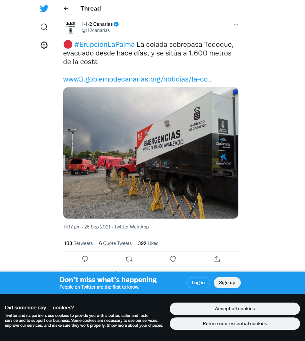
Official social media


To see our full social media archive, visit our open data section or click here.
News articles
- National World – Is it safe to travel to Tenerife? How La Palma volcano affects travel to Canary Islands – and FCO advice – here
- Daily Mail – Pope Francis prays for La Palma volcano victims as evacuees total 6,000 from eruption that could last three months – here
To see our full news archive, visit our open data section or click here.
Found a broken web link? We have archived all of our news articles on the WayBack Machine. You can view the pages by 1. pasting the broken link into WayBack Machine and clicking ‘Browse History’ 2. clicking on the latest capture date and then 3. clicking ‘view capture’. Please let us know of any broken web links by contacting us at enquiries@geotenerife.com.
Eruption footage
News and Interviews
Witness Testimonies
Interactive Lava Flow Map
Notes: Use the button in the top right to open the map into full screen mode. Use the legend icon in the top left to see the legend and further information about the map. Click on individual days to see an outline of the lava flows on that day.
Interactive Earthquake Map
click here to enlarge
Notes: The size of the points represents the size of the earthquake, and the colour represents the depth. The map will also only show a certain number of points at once. For ease of use, we recommend you uncheck all dates and the satellite basemap from the legend in the top right, and inspect the earthquakes one day at a time.
Sorry, the comment form is closed at this time.