27 Sep La Palma eruption update 27th september 2021: Brief pauses in eruptive activity seen
La Palma eruption update 27th september 2021: Brief pauses in eruptive activity seen
Daily summary
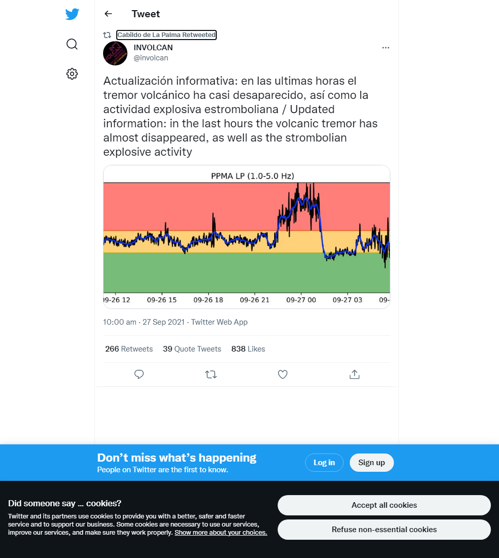
The eruption has seen a large variation of activity, with increases and decreases in the intensity of Strombolian activity, as well as pulses of phreatomagmatic activity (characterised by white plumes rich in water vapour) and periods of no strombolian activity from the main cone. The first period of cessation was between 4:10-4:30 am local time, and similar activity with occasional weak ash-rich explosions was seen throughout much of the day. These cessations were accompanied with greatly reduced volcanic tremor values, and have been attributed to a temporary plugging of the conduit. From approximately 6:30 pm local time, continuous strombolian activity returned to the vents in the main cone and increased in intensity throughout the evening, accompanied with a sharp increase in volcanic tremor. The lava flows continue to advance and are located between 800-1000 m from the coast, although the northern lava flow front which reached Todoque mountain on the 26th has greatly slowed. Nonetheless, due to the potential hazards from explosions and noxious clouds of vapour when the lava contacts the sea, preventative confinement measures have been put in place for 300 people in the coastal areas of Tazacorte.
Regarding geophysical signals, volcanic tremor shows markedly more stability than previous days. The ash plume height exceeds 3000 m, although atmospheric changes mean ashfall is less intense than previous days. The SO2 emissions are greatly reduced due to the lack of eruptive activity, measured at 567 tons per day. Deformation however is now showing a definite period of stability at all stations. Earthquake activity has increased, and a seismic swarm between 5:00-7:30 am local time was recorded at around 10 km, in the same location as the initial swarm which began on the 11th September. In total, 16 earthquakes were recorded, peaking at 3.2 mbLg.
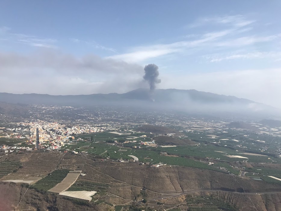
A view of the volcano on the 27th September from Mirador El Time, during one of the very weak reactivations of activity from the main cone throughout the day. Image credit: Ben Ireland, GeoTenerife
Sources: Government of the Canary Islands, PEVOLCA, Involcan, IGN, DSN, Cabildo La Palma, 112 Canarias, Tolouse VAAC
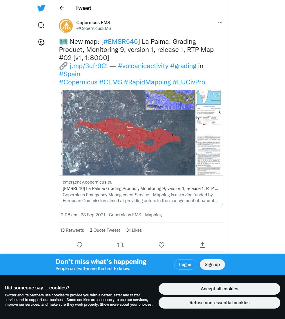
Lava flows

Earthquakes

Exclusion zone map
Exclusion zones shown here have been approximated from press releases from the Cabildo de La Palma and will not be exact, nor claim to be official maps of the exclusion zones. For official information, please contact the Cabildo de La Palma.

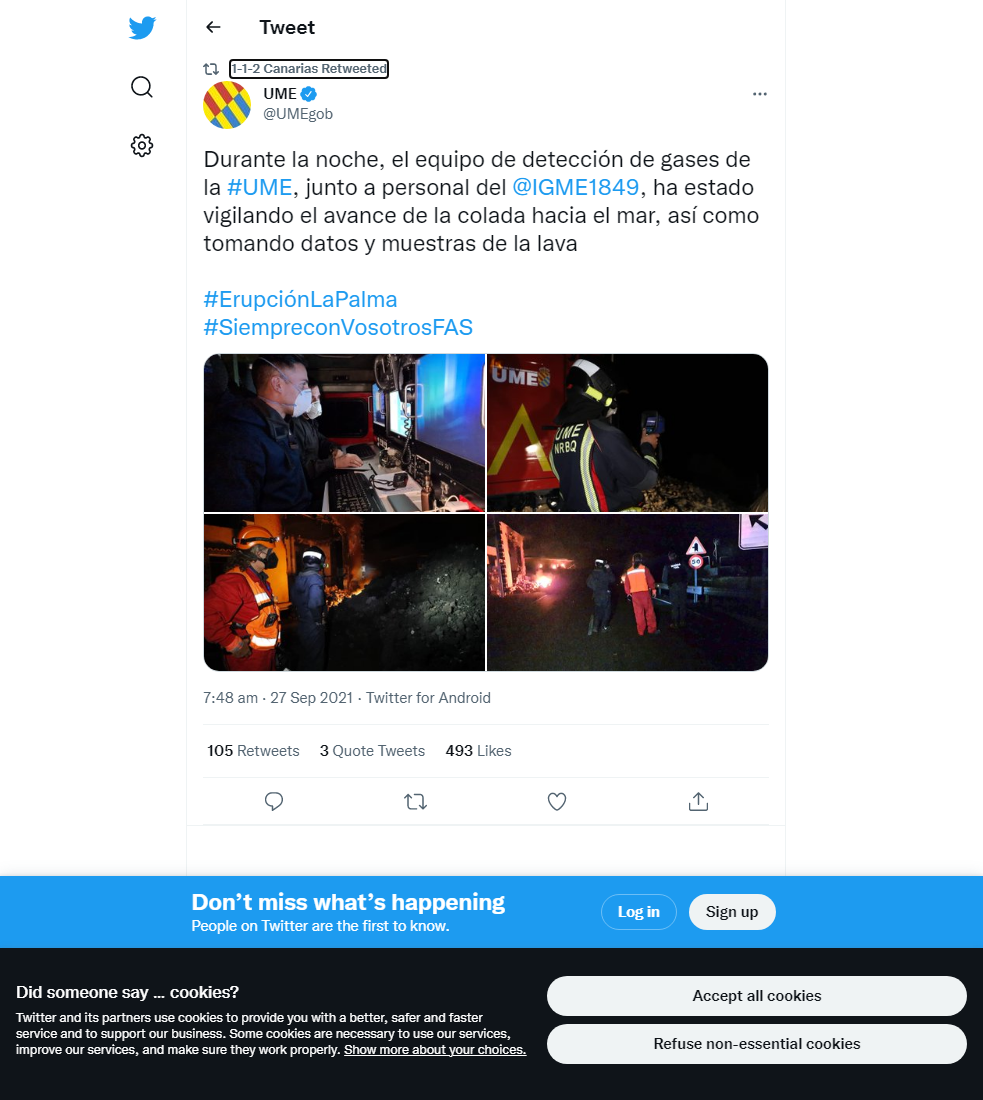
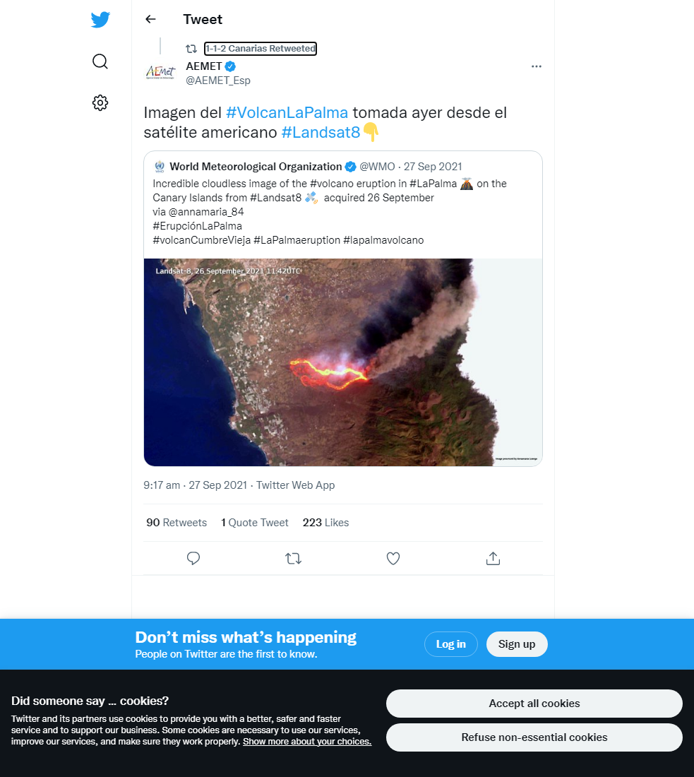
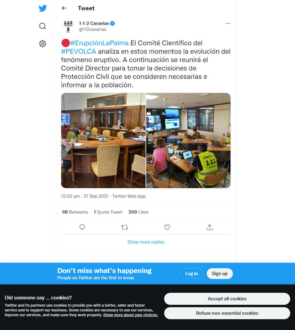
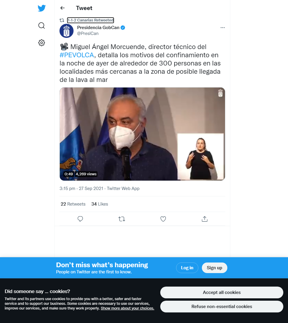
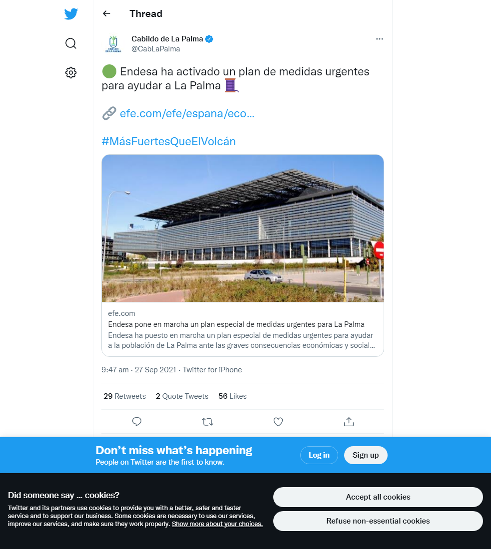
Official social media


To see our full social media archive, visit our open data section or click here.
News articles
- Independent – La Palma volcano: are flights still running, and should I cancel my holiday? – here
- El País – La Palma volcano ceases to emit lava, smoke and ash but risk of molten rock reaching sea remains – here
To see our full news archive, visit our open data section or click here.
Found a broken web link? We have archived all of our news articles on the WayBack Machine. You can view the pages by 1. pasting the broken link into WayBack Machine and clicking ‘Browse History’ 2. clicking on the latest capture date and then 3. clicking ‘view capture’. Please let us know of any broken web links by contacting us at enquiries@geotenerife.com.
Eruption footage
News and Interviews
Witness Testimonies
Interactive Lava Flow Map
Notes: Use the button in the top right to open the map into full screen mode. Use the legend icon in the top left to see the legend and further information about the map. Click on individual days to see an outline of the lava flows on that day.
Interactive Earthquake Map
click here to enlarge
Notes: The size of the points represents the size of the earthquake, and the colour represents the depth. The map will also only show a certain number of points at once. For ease of use, we recommend you uncheck all dates and the satellite basemap from the legend in the top right, and inspect the earthquakes one day at a time.
Sorry, the comment form is closed at this time.