22 Oct La Palma eruption update 22nd october 2021: Forward advance of lava has slowed
La Palma eruption update 22nd october 2021: Forward advance of lava has slowed
Daily summary
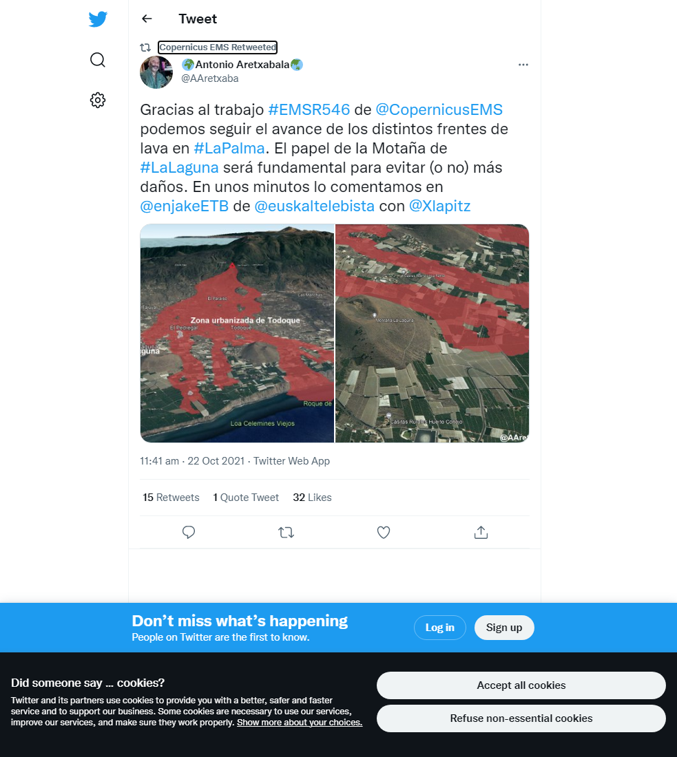
The front of the active lava flows in La Laguna to the north of the flow field are currently practically stopped, although there still remains a high flux of lava feeding these flows, which is leading to their widening and thickening. Nonetheless, the evacuation ordered on the 20th October remains in place. The latest damage assessment puts 845 hectares of land affected by the lava flows, and according to the land registry, 1,280 buildings have been damaged or destroyed including 1,030 residential buildings. However, data from Copernicus EMS estimates a much larger number of buildings affected. 258 hectares of agricultural land has been affected so far, including 144 hectares of banana plantations.
Earthquake activity was again increased, with almost all events recorded at intermediate (10-15 km) depth. 140 events were recorded, peaking at 4.2 mbLg. SO2 emissions remained high, at 31,600 tons per day, although this is an underestimate, and the ash and gas plume reached 2800 m. The tremor remains high, with pulses of intensification. Deformation remains stable at stations closest to the eruption, although a slight regional deflation is still recorded further from the eruption. However, SO2 concentrations are higher than previous days, with high concentrations being recorded especially at the Los Llanos, El Paso, Tazacorte and Puntagorda stations. PM10 concentrations however have decreased, and the daily threshold (50 μg/m3) was not exceeded at any stations throughout the day.
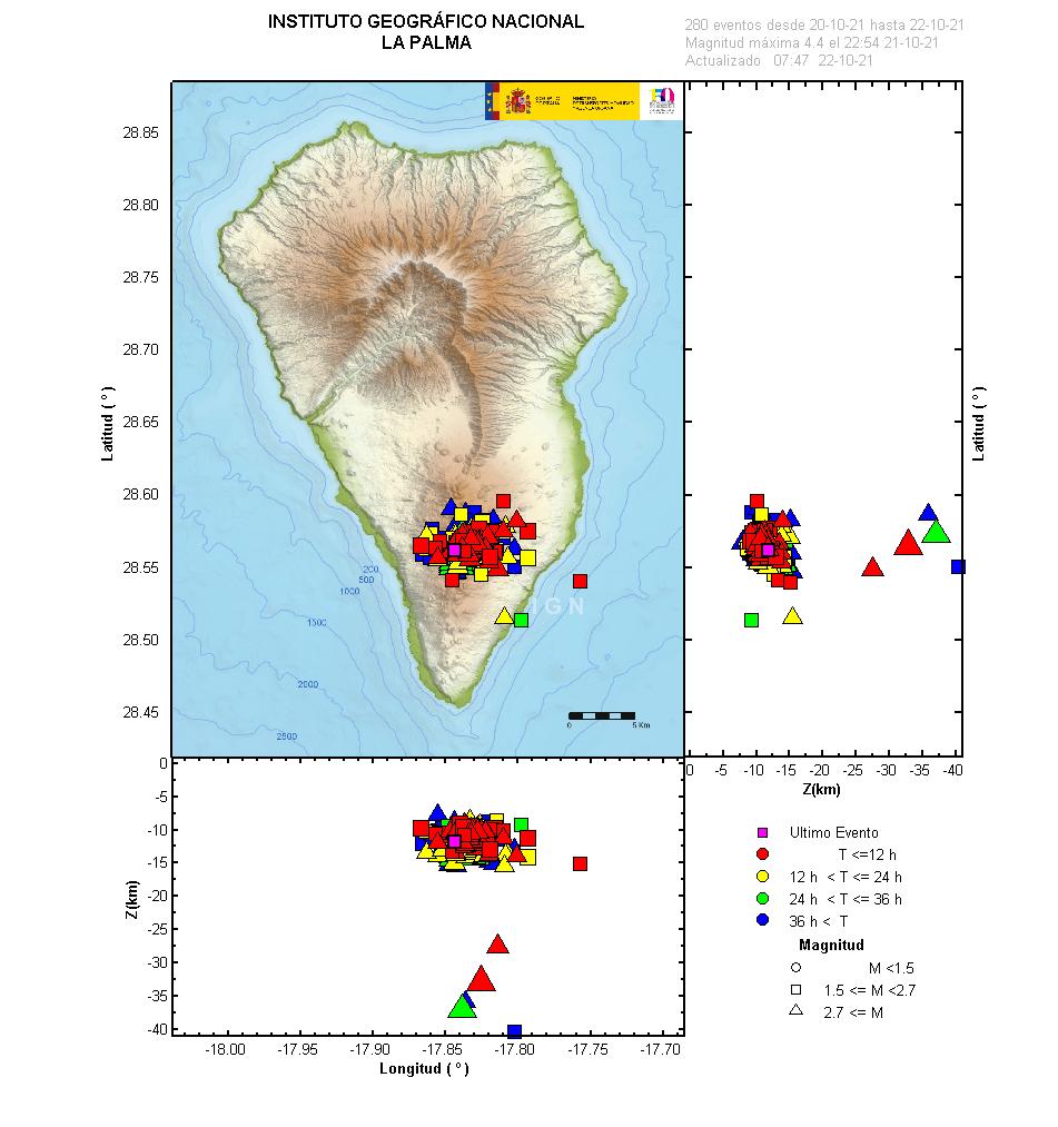
The earthquakes recorded in La Palma in the last 3 days, showing that events have become concentrated at shallow depths. Image credit: IGN Spain
Sources: Government of the Canary Islands, PEVOLCA, Involcan, IGN, DSN, Cabildo La Palma, 112 Canarias, Tolouse VAAC, Copernicus EMS
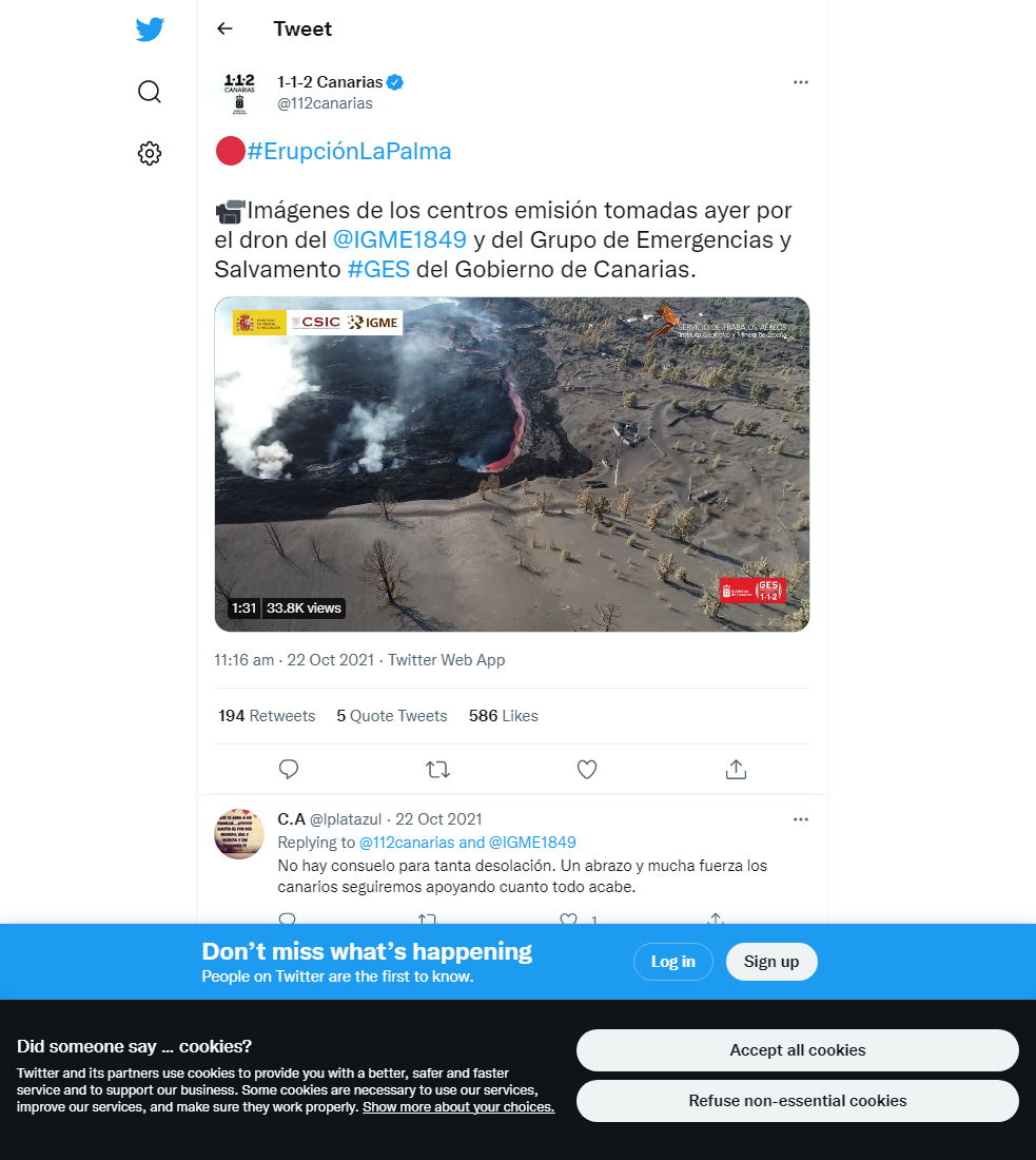
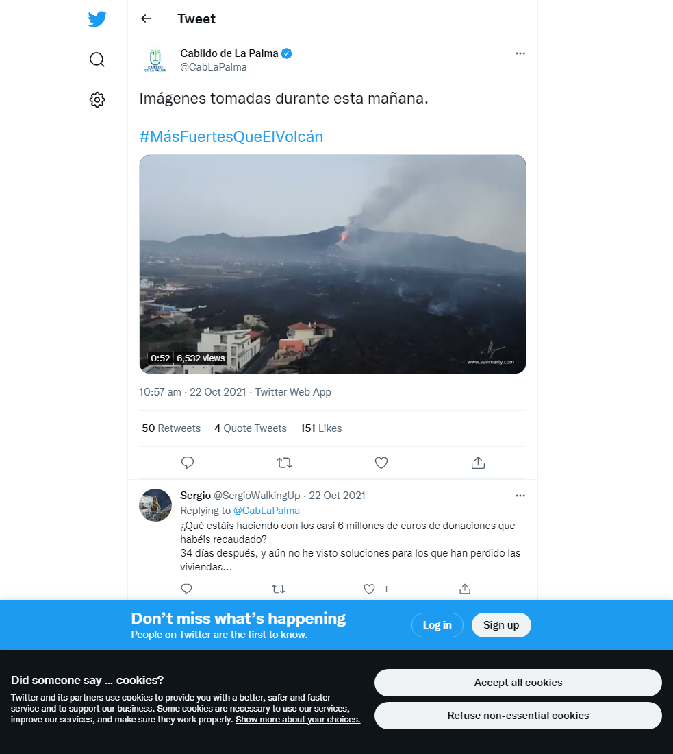
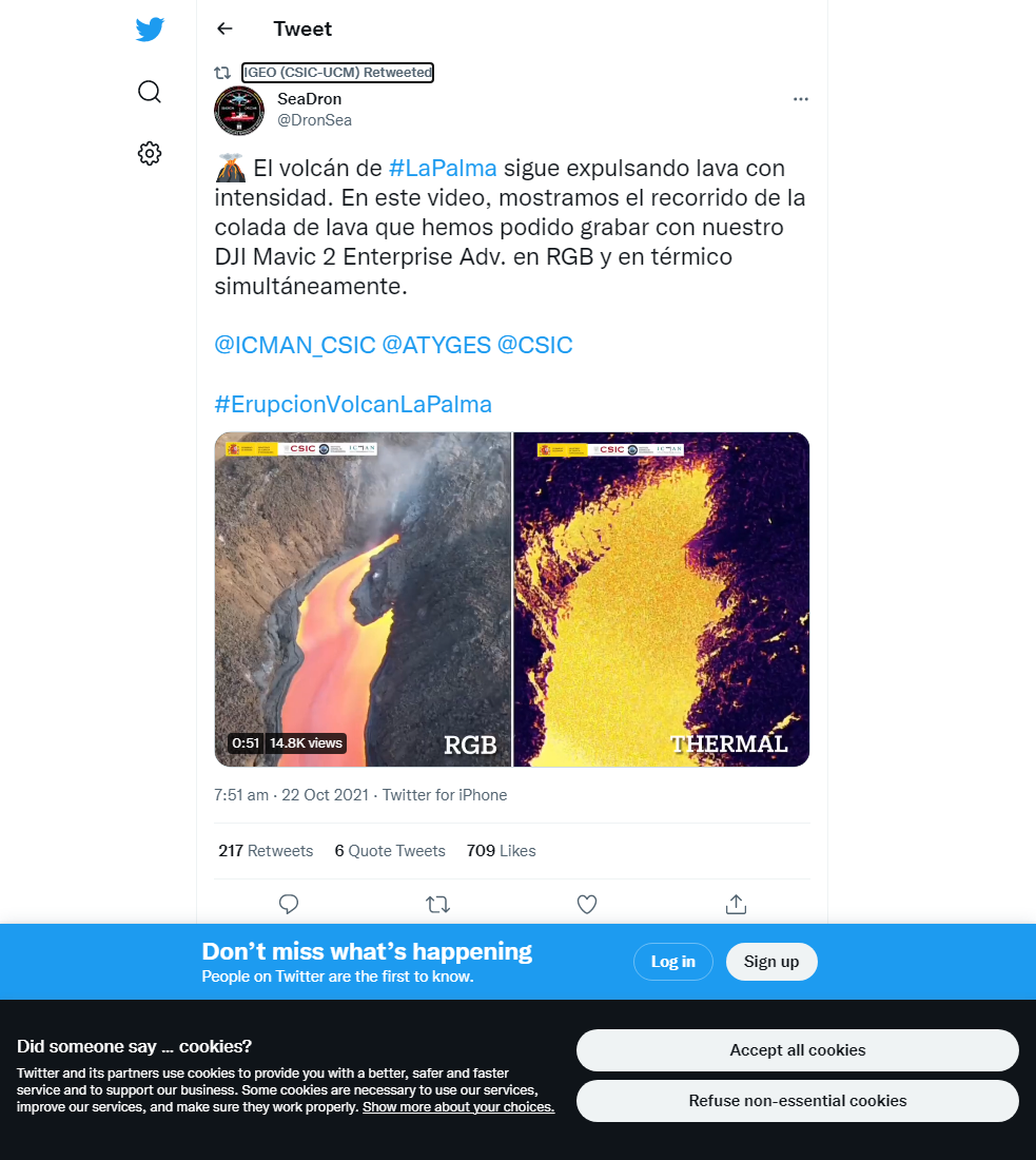
Lava flows

Earthquakes

Exclusion zone map
Exclusion zones shown here have been approximated from press releases from the Cabildo de La Palma and will not be exact, nor claim to be official maps of the exclusion zones. For official information, please contact the Cabildo de La Palma.

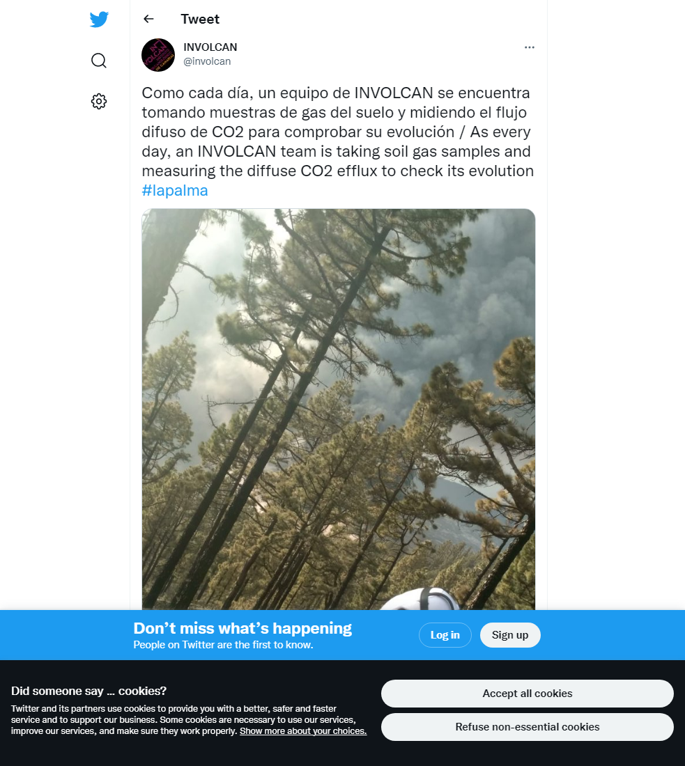
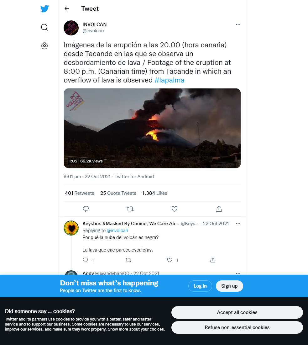
Official social media

To see our full social media archive, visit our open data section or click here.
News articles
- El País – Rain forecast brings mudslide concerns – here
- Daily Mail – British couple’s house swallowed by lava – here
To see our full news archive, visit our open data section or click here.
Found a broken web link? We have archived all of our news articles on the WayBack Machine. You can view the pages by 1. pasting the broken link into WayBack Machine and clicking ‘Browse History’ 2. clicking on the latest capture date and then 3. clicking ‘view capture’. Please let us know of any broken web links by contacting us at enquiries@geotenerife.com.
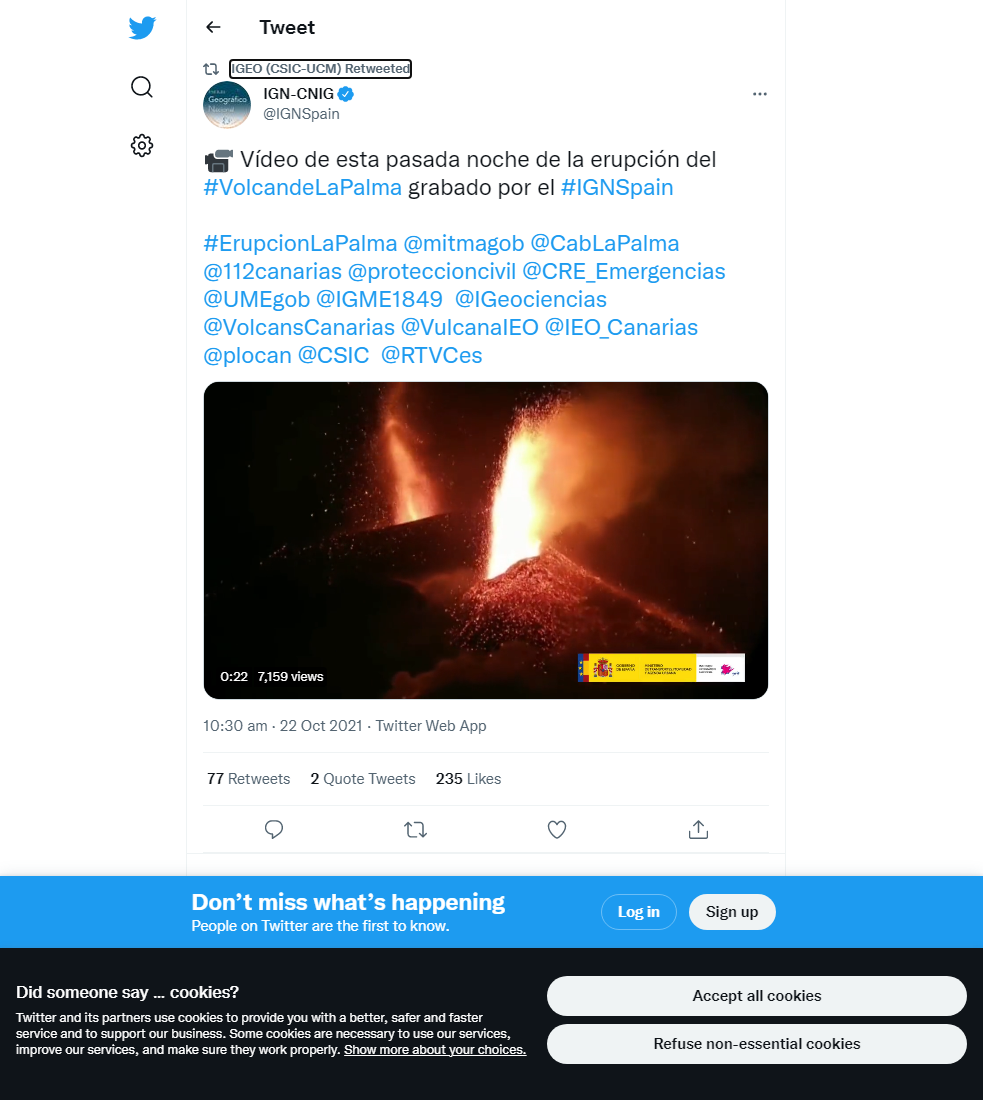
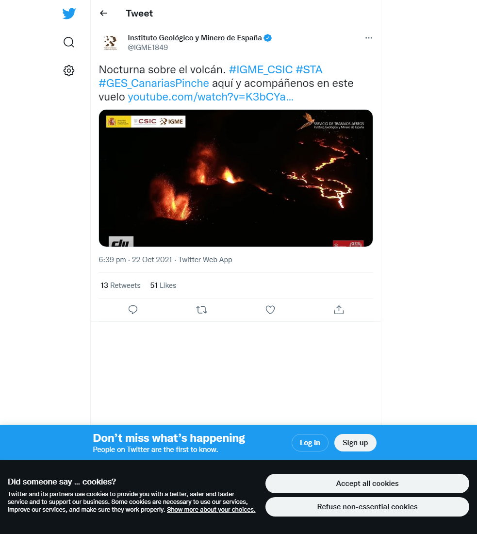
Eruption footage
News and Interviews
Witness Testimonies
Interactive Lava Flow Map
Notes: Use the button in the top right to open the map into full screen mode. Use the legend icon in the top left to see the legend and further information about the map. Click on individual days to see an outline of the lava flows on that day.
Interactive Earthquake Map
click here to enlarge
Notes: The size of the points represents the size of the earthquake, and the colour represents the depth. The map will also only show a certain number of points at once. For ease of use, we recommend you uncheck all dates and the satellite basemap from the legend in the top right, and inspect the earthquakes one day at a time.
Sorry, the comment form is closed at this time.