28 Dec Low magnitude earthquakes persists
Low magnitude earthquakes persists
Red traffic light
Continued observation of geological activity as La Palma government organises the return or relocation of the population and reduction of the exclusion zone around the eruptive centre
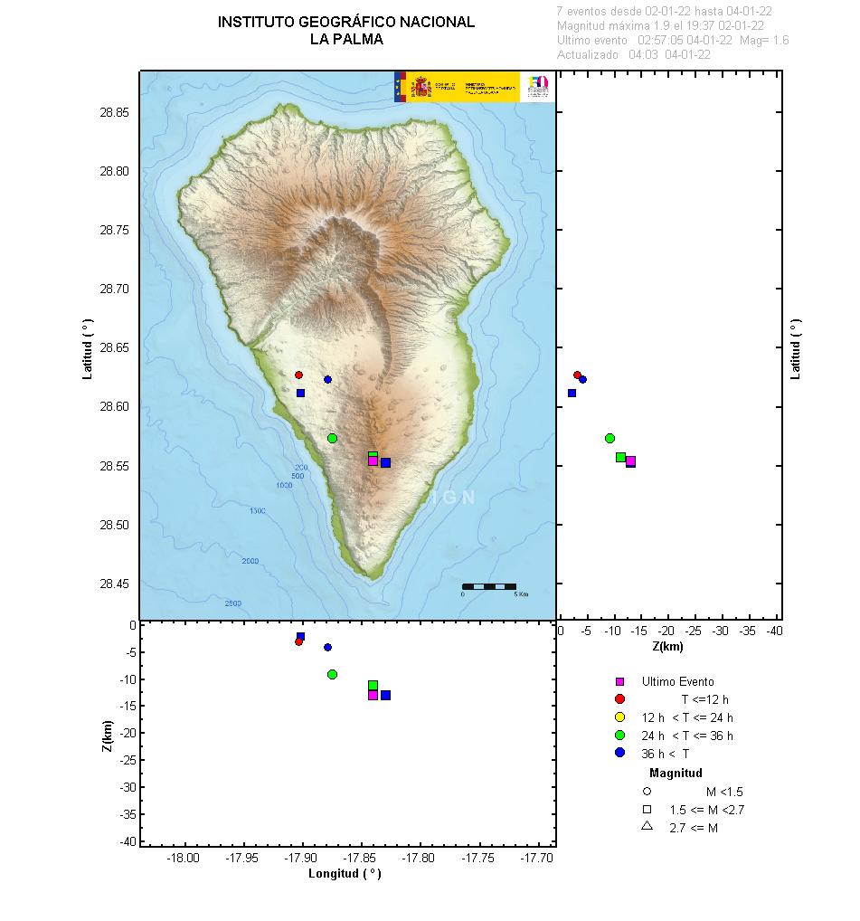
Since the last statement (29th Dec 9:00 UTC), 32 earthquakes have been located on the island none of them were been felt by the population. The magnitudes are between 0.9 and 2.7 (mbLg). 15 earthquakes have been located at depths between 9 and 16 km, 3 around 33 km, and 14 earthquakes at depths less than 4 km (IGN, 2022).


Sorry, the comment form is closed at this time.