22 Dec La Palma eruption update 22nd December 2021: Background levels of tremor continue
La Palma eruption – 22nd December 2021
Daily summary
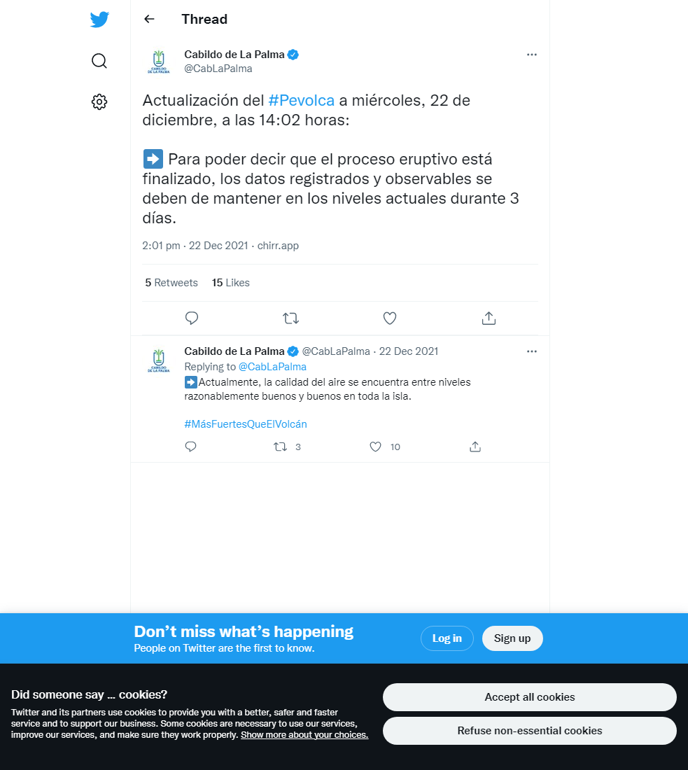
Volcanic tremor continues at background levels, with no eruptive activity seen, although a reactivation cannot be ruled out. If the current levels are maintained, the authorities will be able to call an end to the eruptive process on December 25th. PEVOLCA has advanced the planning of the reconstruction phase of basic services in anticipation of this event and hopes to start work as soon as possible once this has been declared.
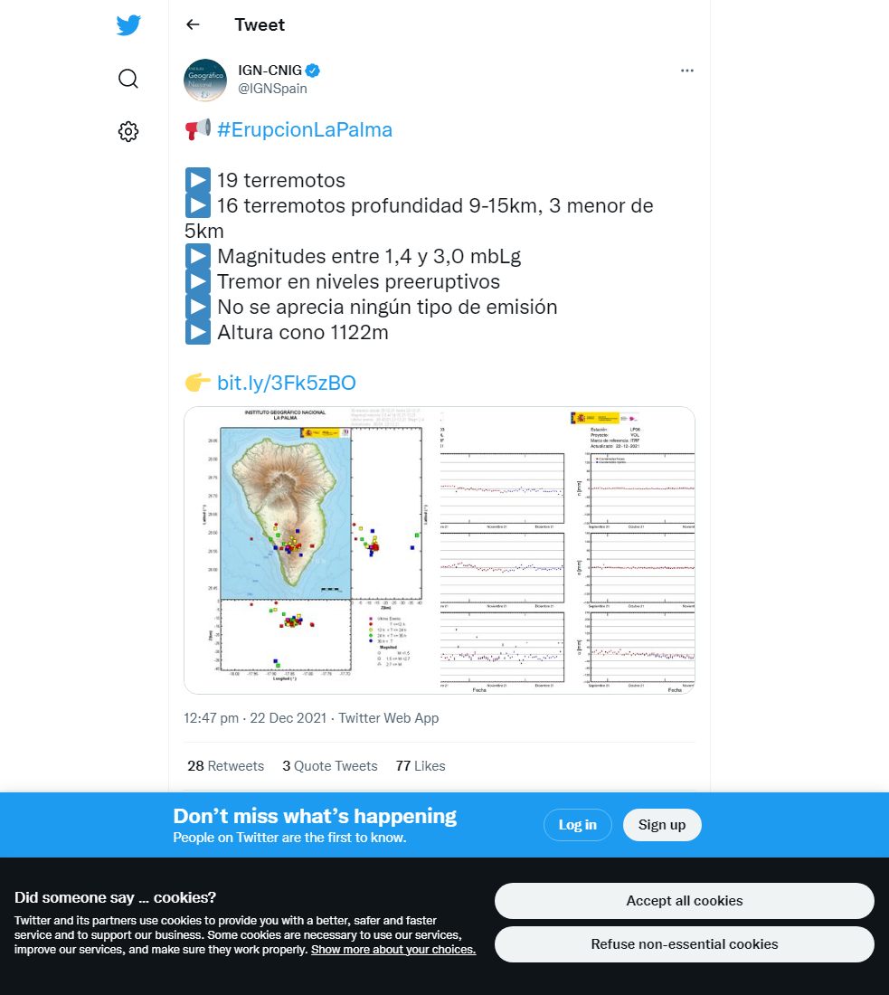
The deformation recorded at the LP03 station in Jedey, the closest GPS station to the eruption, returned after a partial reversal on the previous day, and is being continually monitored. However, no other trends are seen across the deformation network. PEVOLCA again reminds that in the El Hierro eruption, residual seismicity and deformation also occurred as the subsurface re-adjusted. 23 earthquakes were recorded, peaking at M2.5 with 16 <M2.0, largely at intermediate (<20 km) depths.
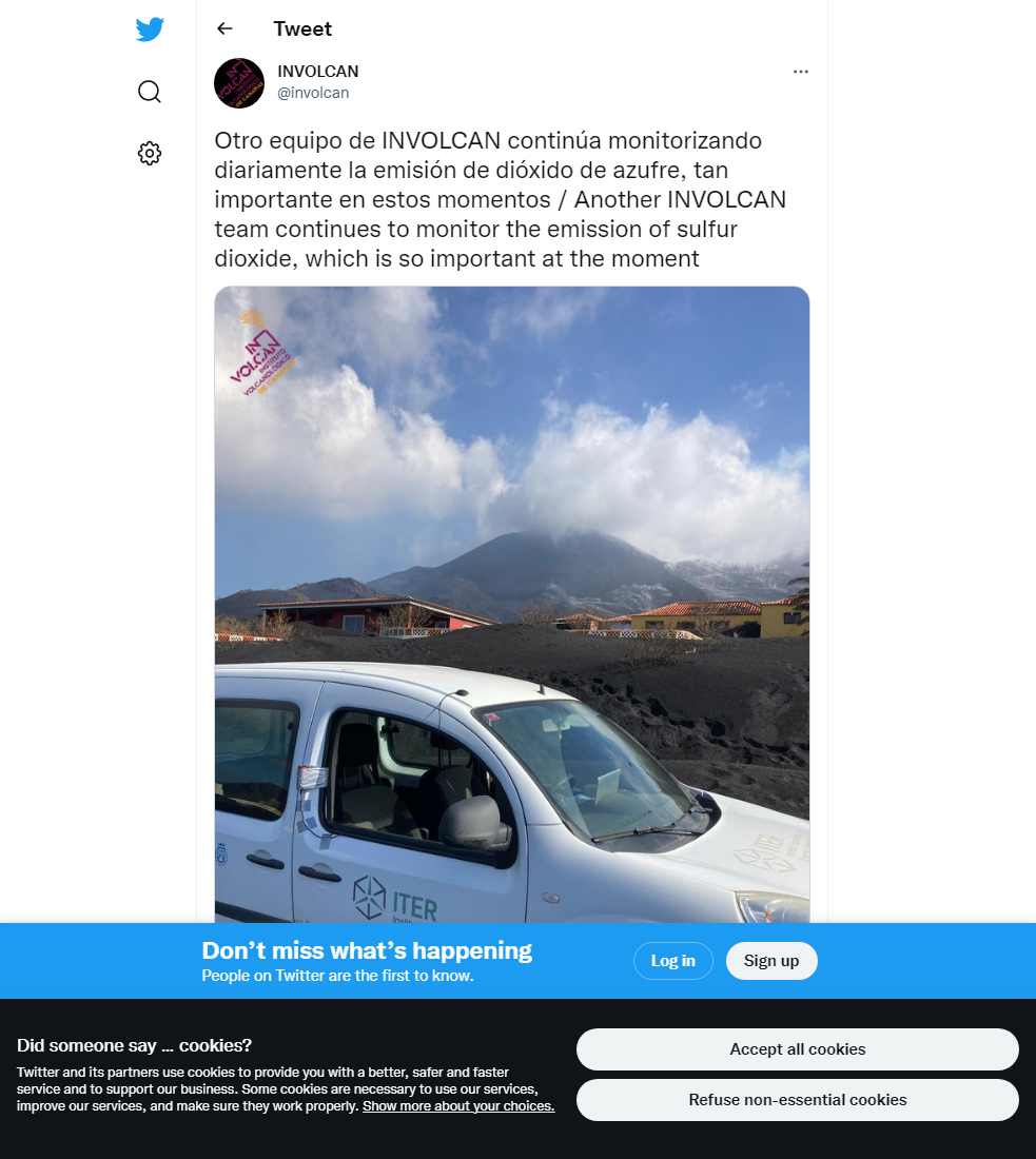
The level of SO2 emissions from the plume were maintained from the previous day, registering a low (50-500 tonnes per day) value. Irrigators continue to be allowed into the evacuated zone from the north and south, however in the south only outdoor work has been allowed in Puerto Naos, and entry into La Bombilla has not been allowed due to high gas levels. PEVOLCA continues to explain these emissions are due to the solidification of superficial magma in the conduits, rather than magma ascent. Air quality remains good in all stations, in respect to both PM10 and SO2 concentrations.
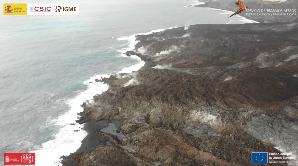
The cooling southern lava delta photographed on the 22nd December. Image credit: IGME, CSIC, Government of the Canary Islands
Sources: Government of the Canary Islands, PEVOLCA, Involcan, IGN, DSN, Cabildo La Palma, 112 Canarias, Tolouse VAAC, Copernicus EMS
Lava flows

Earthquakes

Exclusion zone map
Exclusion zones shown here have been approximated from press releases from the Cabildo de La Palma and will not be exact, nor claim to be official maps of the exclusion zones. For official information, please contact the Cabildo de La Palma.

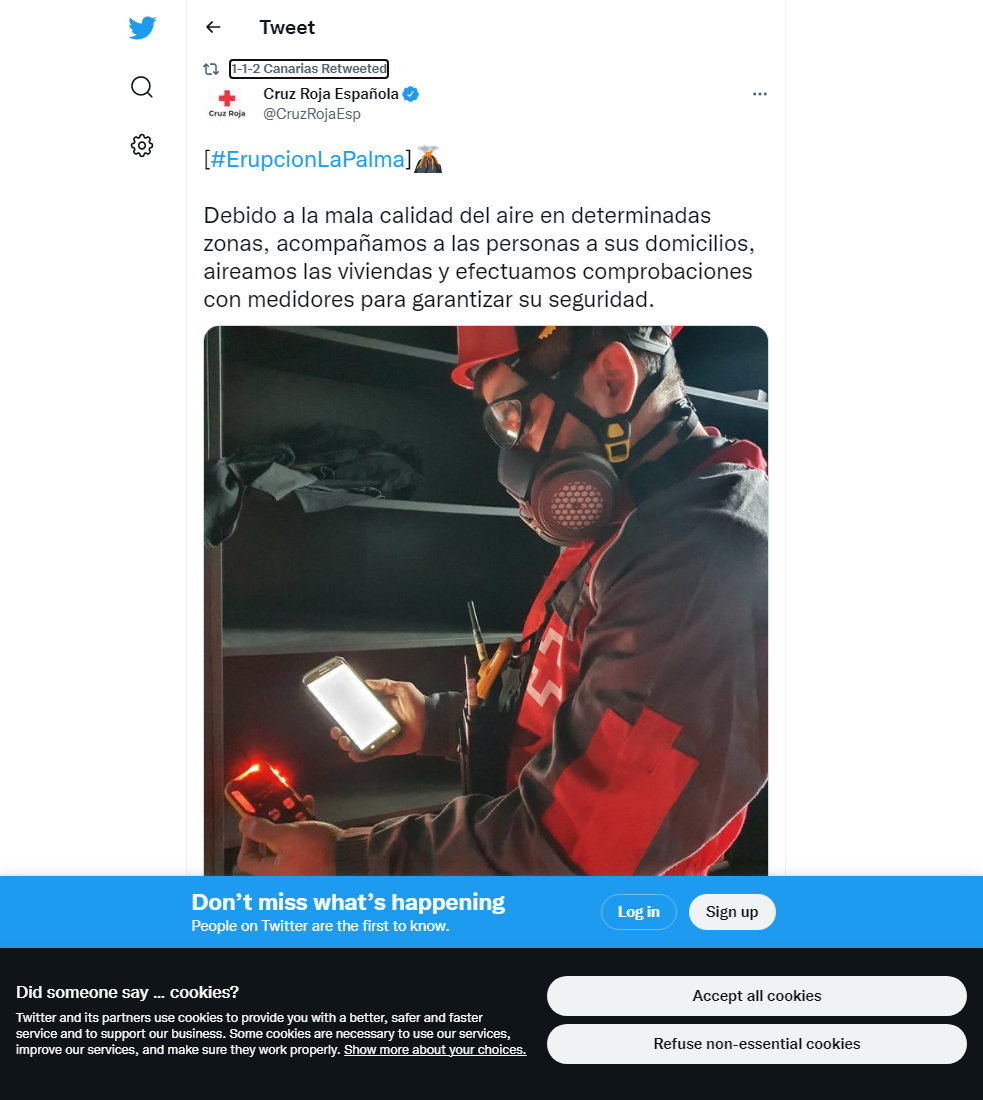
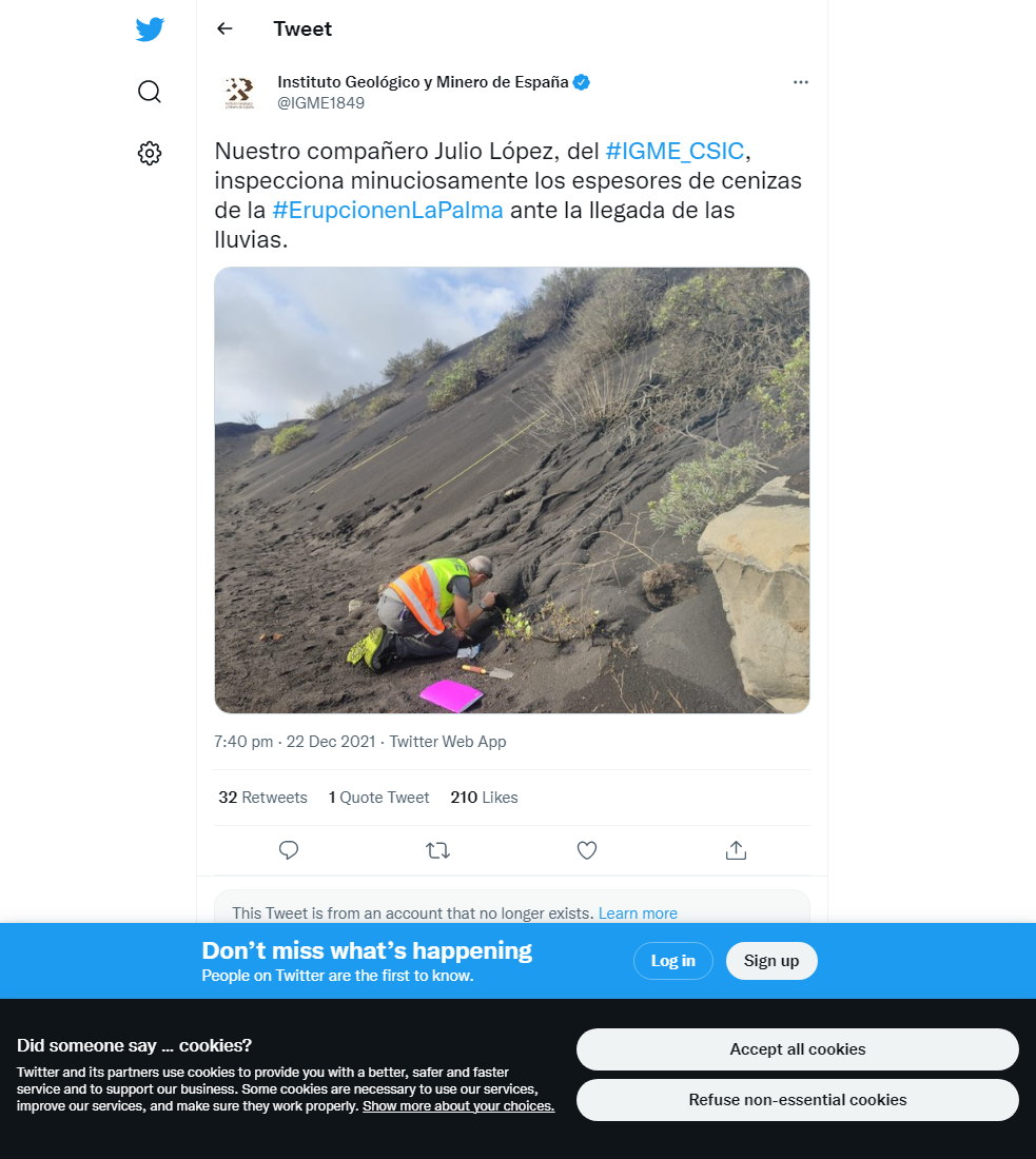
Official social media

To see our full social media archive, visit our open data section or click here.
News articles
- IGME – Viewers – Geology, Lava and earthquakes in La Palma – here
- RTVE – The volcano of La Palma continues without signs of activity three days after officially ending – here
- Canarias Ahora – The five great challenges for La Palma when the volcano is considered extinct – here
To see our full news archive, visit our open data section or click here.
Found a broken web link? We have archived all of our news articles on the WayBack Machine. You can view the pages by 1. pasting the broken link into WayBack Machine and clicking ‘Browse History’ 2. clicking on the latest capture date and then 3. clicking ‘view capture’. Please let us know of any broken web links by contacting us at enquiries@geotenerife.com.
Eruption footage
News and Interviews
Witness Testimonies
Interactive Lava Flow Map
Notes: Use the button in the top right to open the map into full screen mode. Use the legend icon in the top left to see the legend and further information about the map. Click on individual days to see an outline of the lava flows on that day.
Interactive Earthquake Map
click here to enlarge
Notes: The size of the points represents the size of the earthquake, and the colour represents the depth. The map will also only show a certain number of points at once. For ease of use, we recommend you uncheck all dates and the satellite basemap from the legend in the top right, and inspect the earthquakes one day at a time.
Sorry, the comment form is closed at this time.