GeoTenerife is committed to fostering valuable collaborations with local, national, and international research institutions, to both conduct valuable geoscience research in the Canary Islands but also to give our students and interns the best hands-on experience of being involved in important, publishable research projects.
Our ongoing research projects and collaborators are listed below, with presentations and descriptions of the projects written by some of the students and interns involved in them.
We are always looking to welcome new collaborations, so if you or your company/research institution is interested in collaborating with us, please get in touch with us via enquiries@geotenerife.com
 IGN, Instituto Geográfico Nacional.
We have recently started a collaboration with the Canary Islands regional service of IGN, the National Geographic Institute of Spain, one of the organisations that monitor volcanic and seismic activity in the Canary Islands and is a member of PEVOLCA. We look forward to publishing some of the work we are doing together.
Dr Elodie Macorps, Assistant Research Scientist at NASA Goddard Space Flight Center, USA
Elodie has been collaborating with GeoTenerife since summer 2023 as part of a team working on a National Geographic grant to use remote sensing and ground-based field data to explore building damage and lava flow characteristics from the 2021 Volcán de Tajogaite eruption on La Palma.
Elodie is remote sensing scientist with a background in volcanology who uses both radar and optical remote sensing for the detection of areas impacted by disasters and associated topographic changes, as part of NASA’s Disasters Programme. She has a PhD in Volcanology from the University of South Florida, looking at changing pyroclastic flows hazards at Calbuco and Colima volcanoes in Mexico with field and remote sensing methods.
Our collaborative work aims to be valuable in better understanding how we can assess damage from volcanic eruptions and ground-truth what we see from satellites.
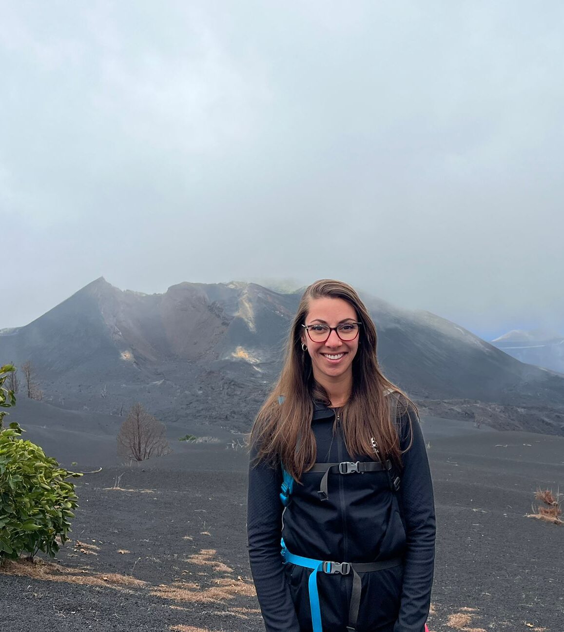
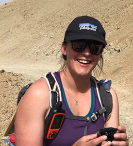
Dr Janine Krippner, Volcanologist and Science Communicator, New Zealand
Janine began collaborating with GeoTenerife in summer 2023, leading an international team working on a National Geographic-funded project to use remote sensing and ground-based field data to explore building damage and lava flow characteristics from the 2021 Volcán de Tajogaite eruption on La Palma. Also starting in summer 2023, Janine is working as part of the GeoTenerife and GeoIntern programme to assist with science communication teaching and projects.
Janine is an interdisciplinary volcanologist currently studying Mt Doom (Ngāuruhoe) and La Palma, Canary Islands, and is also researching into tsunami hazards in New Zealand with GNS. She has a PhD in Volcanology and Remote Sensing from the University of Pittsburgh, which used a range of remote sensing imagery to assess volcanic processes and topographic change at Shiveluch volcano in Kamchatka, Russia. Janine is also an avid and committed science communicator, regularly communicating her work and other volcanological information through her social media channels and global media interviews. In 2020, she also began a YouTube series called ‘Volcano Moments’, which featured accessible interviews with a range of volcanologists across the globe.
Our collaborative work aims to be valuable in better understanding how we can assess damage from volcanic eruptions and ground-truth what we see from satellites, as well as work towards our goal of providing every young geoscientist with science communication training.
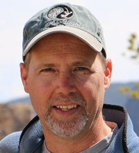
Prof. Richard Brown, Volcanologist, University of Durham, UK
Since 2021, our summer GeoInterns have been involved in an important long-term research project the Volcanologist Professor Richard Brown from the University of Durham. The research project developing a new stratigraphy of explosive volcanic products in the Bandas del Sur in Southern Tenerife.
In particular, the teams have focused on identifying an increasing number of previously unrecognised pumice fall deposits from non-caldera forming explosive eruptions on Tenerife in the last c.800 ka. The aim of this project is to better understand the explosive volcanic history of Tenerife, and better constrain the recurrence interval of explosive eruptions of the island.
More information on the methods and findings of this project, written by 2022 GeoInterns Federico Pingitore, Gregor Melville, Kez Page, Louis-Alexandre Lobanov and Molly Maenner, can be read on our ‘student reports’ page.
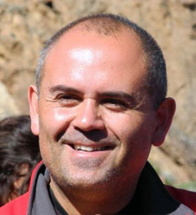
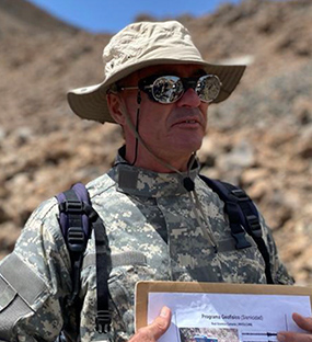
Dr Pablo Gonzalez, Volcano Geophysicist, Spanish National Research Council – CSIC
Our summer GeoInterns have been involved in Geophysical surveys across Tenerife since 2021, in collaboration with Dr Pablo Gonzalez, a Senior Researcher in Geodynamics and Structure of the Lithosphere, at the Volcanological Research Group in the Spanish National Research Council (IPNA-CSIC).
In 2021 the GeoInterns conducted preliminary magnetometer and micro-seismic surveys of the 1705/6 Fasnia Volcano in Tenerife, with the aim of imaging the feeding dyke of this eruption and estimating the depth of unconsolidated sediments in the area surrounding the main cone.
The 2022 Tenerife GeoInterns conducted micro-seismic surveys of the 18 km long Cueva del Viento Lava Tube on Tenerife, to investigate the ability of micro-seismometers to detect sub-terranean lava tubes.
More information on the methods and findings of this project, written by 2022 GeoInterns Megan Campbell, Becca Tanner, Charlie Jackson and Rebeka Bacova, can be read on our ‘student reports’ page.
Dr Arianna Soldati, Assistant Professor of Volcanology, NC State University, USA
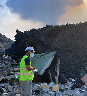
Arianna began collaborating with GeoTenerife in summer 2023 as part of a National Geographic funded grant to explore the damage to buildings and associated lava flow dynamics during the 2021 Volcán de Tajogaite eruption on La Palma.
Arianna is a volcanologist with a focus towards investigating lava rheology using experimental methods, with a PhD in Geological Sciences from the University of Missouri-Columbia. She is also passionate about science communication and outreach.
Our collaborative work aims to be valuable in better understanding how we can assess damage from volcanic eruptions and ground-truth what we see from satellites.
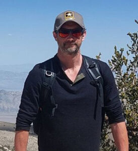
Dr Steven Godby, Principal Lecturer in Geography, Nottingham Trent University, UK
Dr Steven Godby is a Principal Lecturer in Geography at Nottingham Trent University and manages the geography and environmental science courses in the Department of Environmental Sciences. He teaches undergraduate and postgraduate students and leads the following modules:
- Natural Hazards and Disasters
- Drylands
- Geographical Politics, Issues and Ethics
Steven led an NTU Geography field trip to Tenerife with GeoTenerife in December 2022 and his students researched many of the impacts of the proposed Cuna del Alma resort, which we hope to build on and deepen this summer.
Fernando Borràs Castelló Geologist and Co-Founder, Drones for Geology, Spain
Drones for Geology have collaborated with GeoTenerife since June 2022, working with our 2022 VolcanoCamp scholars and our 2022 GeoInterns, as well as providing incredible drone footage for our social media and our documentary about the 2021 La Palma eruption.
Our 2022 GeoInterns were taught the science and value behind using both aerial and underwater drones in geoscience applications and assisted in the organisation of new drone surveys of the main cone two lava deltas created by the 2021 La Palma eruption. The 3D models from our ongoing surveys have been published openly on V3Geo and can be viewed here as part of our VolcanoStories project.
The aim of this collaboration is to provide training to as many geoscience students as possible on the ever-growing field of using drones in such applications, as well as monitoring the geomorphological evolution of the deposits created by the 2021 eruption in La Palma.
2022 GeoIntern Jacob Nash prepared a report on the work of the 2022 GeoInterns with Drones for Geology, can be read on our ‘student reports’ page.
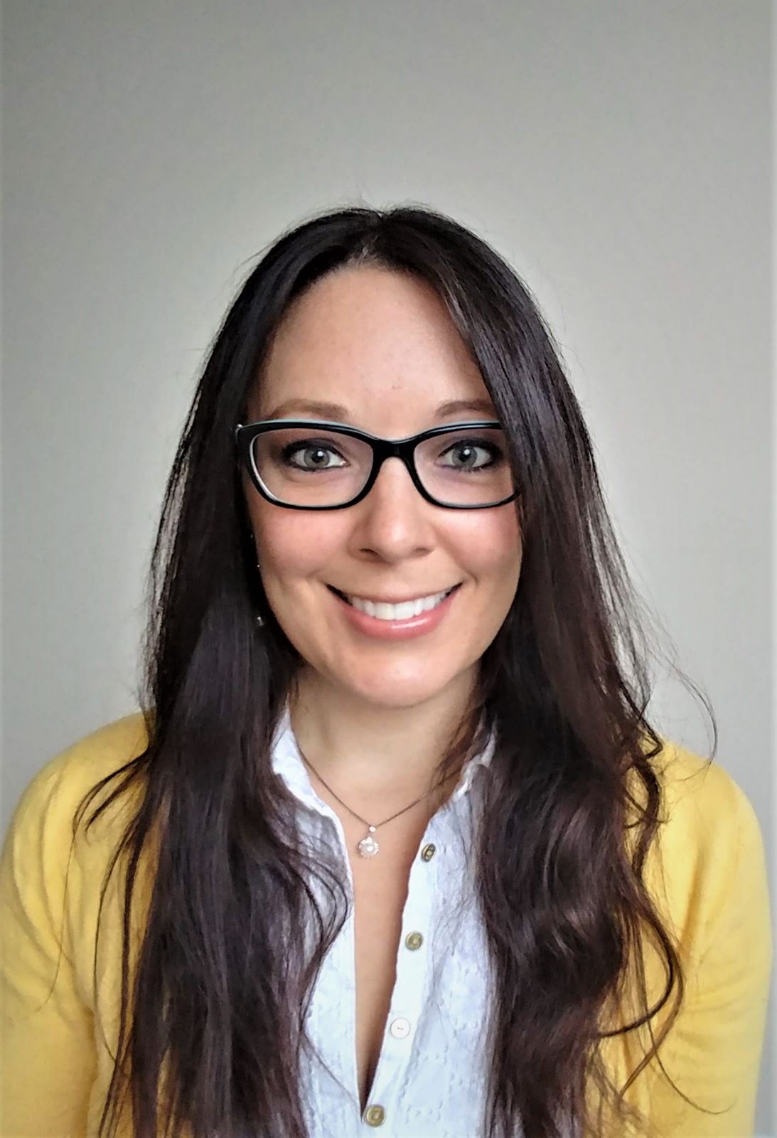
Dr Catalina Arguello, Social Psychologist, Universidad Internacional de La Rioja, Spain
Dr Catalina Arguello has a broad history of research into social dynamics of volcanic eruptions and other natural hazards, and among other resources has created a range of innovative surveys aimed at assessing knowledge and preparedness of populations at risk from different natural hazards.
Using one of these surveys related to volcanic eruptions, our 2022 GeoInterns surveyed over 70 local people both on Tenerife and La Palma to assess their preparedness and understanding of volcanic hazards.
These surveys form part of a much larger project to collect responses to similar surveys globally from hundreds or thousands of respondents, to assess trends in global disaster knowledge and preparedness, which could have major implications for disaster risk reduction (DRR) policy.
2022 GeoInterns Megan Pelly, Ella Richmond and Lucy Benniston prepared a detailed analysis of this research, can be read on our ‘student reports’ page.
Victor Melo, Presidente, Asociación Volcanes de Canarias
Victor has a background in journalism and geoscience and is President of the Asociación Volcanes de Canarias, which formed in 2004. He continues to collaborate with GeoTenerife on projects relating to the 2021 La Palma eruption, including works relating to science communication during the disaster.
Dr Katy Chamberlain, Volcanologist, Liverpool University, UK
Dr Katy Chamberlain has collaborated with GeoTenerife in the organisation, teaching and research of our 2022 VolcanoCamp and GeoIntern programmes. In collaboration with colleagues both in the Canary Islands and the UK, Katy has been facilitated the start of systematic vegetation surveys around La Palma, with a particular focus on the areas of historical eruptions and the areas affected by the eruption in 2021.
Vegetation surveys have been taken from a variety of elevations on historical lava flows from 1480, 1585, 1677, 1949, 1971 and 2021, to analyse how vegetation varies in different climatic regions on the island, and how vegetation establishes on these lava flows, and is recovering from the 2021 eruption.
2022 GeoIntern’s Sofia Della Sala and Brannock Hackett wrote a report summarising the methods and the progress so far, which can be read on our ‘student reports’ page.
Jaime Coello, Hydrogeologist and Director, Fundación Telesforo Bravo
Jaime Coello has also been a long-time collaborator with GeoTenerife through the Fundación Telesforo Bravo, teaching our students and interns about water scarcity and the indigenous histories of the Canary Islands. Jaime has also run sample collection programmes with GeoTenerife on La Palma.
Alvaro Márquez González, Volcanologist, Complutense University Madrid, Spain
Alvaro collaborated with the 2022 GeoIntern cohort to lead a valuable teaching exercise simulating the reactivation of the Cumbre Vieja ridge, and the immediate emergency response that would be needed.
This gets the students thinking about volcanic hazards across a wide range of spatial, temporal and probabilistic scales, weighing up difficult decisions with less than complete data, considering the social impacts of volcanic emergencies, whilst also exploring a variety of different data sets, hazard maps, and visualisation tools.
To simulate a real emergency, this was all conducted over only a few hours, where a detailed and explained report, similar to which would be presented at a policy briefing, needs to be completed by the end of the time.
The report and hazard maps produced by the 2022 GeoInterns, compiled by GeoInterns Anabel Pozniak and Gemechu Bedassa can be read on our ‘student reports’ page.
Dr David Foster, Geologist, University of Florida, USA
David began his collaboration with us with the 2022 GeoIntern cohort, to collect samples from the 1585, 1949, and 2021 lava flows in La Palma, at various altitudes and at various positions within the lava flows, for example from the edges and from the centre.
The research plans to analyse these samples in a new XRF Spectrometer at the University of Florida using a novel technique to analyse the differential physio-chemical weathering of these samples, with a view towards understanding the processes affecting the development of bio-available compounds from lava flows.
This research is both relevant to modern day scenarios but also the establishment of the very first life on earth as similar processes may have been important there.
GeoInterns Ajay Wynne Jones and Kelsey Hewett produced a short report on this research that can be read on our ‘student reports’ page.
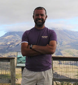
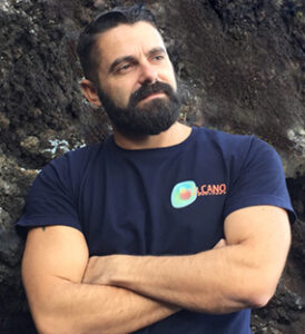
Alexis Schwartz, Volcanologist and Lecturer (GeoTenerife)
Alexis Schwartz is a GeoTenerife’s full-time resident expert Volcanologist and Geologist. He has an extensive knowledge of local outcrops, geology and volcanology and spent many years researching the islands for the local volcano monitoring institution and for his thesis at the University of Leicester, titled “Petrogenesis and Physical Volcanology of a compositionally zoned ignimbrite on Tenerife, Canary Islands, Spain”.
He also has a wealth of past teaching experience including an established career as a geoscience tour guide in the Canary Island. Alexis helps to organise and facilitate much of GeoTenerife’s research on Tenerife, particularly in site selection, and has also been involved with international geological research relating to the 2021 eruption on La Palma.
Andy Ridgeway, Science Communication lecturer, University of the West of England (UWE), UK
Andy has been instrumental in providing all of our GeoInterns with rigorous science-communication since 2021, setting them engaging assignments to teach them the do’s and don’ts of science communication. With Andy, students learn how to write blogs, news articles, social media posts, as well as produce science communication vlogs, different types of interviews, and mini-documentaries.
Dr Hannah Little, Lecturer in Communication and Media, University of Liverpool, UK
Hannah began co-leading the GeoTenerife’s science communication training in 2021, and draws on her wealth of experience and innate enthusiasm for the topic to deliver captivating lectures to our students. The science communication training with Hannah and Andy hope to prepare students for any future science communication challenges, and hopes to ensure that the students have the best strategies for clearly communicating scientific concepts, whether that is in industry, teaching, academia or elsewhere.
Eugenio Fraile Nuez, Physical Oceanographer, Instituto Español de Oceanografía (IEO), Spain
GeoTenerife has also begun a fruitful research collaboration with the Spanish Oceanographic Institute, beginning with co-organising the First Symposium on Submarine Volcanism in the Canary Islands, the 3rd VulcanaSymposium will take place in November 2024.
GeoTenerife and the Instituto Español de Oceanografía are also collaborating in the running and facilitation of an annual Marine Science Camp, the first of which is taking place in November 2022. The selected students will spend time assisting in critical research taking place on board the IEO’s research vessel, in waters close to a number of the Canary Islands. More details of the research conducted as part of this field camp will be published here soon.
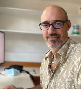
Dr José M Marrero, Volcanic Hazard and Risk Assessment Officer, Montserrat Volcano Observatory
Dr José M Marrero is a Geographer from Tenerife (PhD in Volcanic Risk Management, ULL) who has worked for more than 18 years in risk and hazard assessment in volcanic active areas. From 2004 to 2015 he was part of the Department of Volcanology at the National Museum of Natural Sciences (CSIC, Spain). He was a researcher of the PROMETEO Program from 2015 to 2016 at the Geophysical Institute of the National Polytechnic School and the Military Geographic Institute, participating in the crisis of the Cotopaxi volcano and the evaluation of the impact caused by the earthquake of April 16, 2016 in the canton of Portoviejo, work that continued throughout 2017 as a consultant for the EPN Public Company. In 2019 he was coordinator of the Geography and Systems areas in the project for the development of Archaeological and Paleontological Areas of Ecuador with special emphasis on risk analysis and data management. He worked also as a risk advisor for the Quito Mayor’s Office. Currently, he is the Hazard and Risk Assessment Officer at the Montserrat Volcano Observatory.
We are always looking to welcome new collaborations, so if you or your company/research institution is interested in collaborating with us, please get in touch with us via enquiries@geotenerife.com