23 Sep La Palma eruption update 23rd september 2021: 300 homes already affected by the lava flows
La Palma eruption update 23rd september 2021: 300 homes already affected by the lava flows
Daily summary
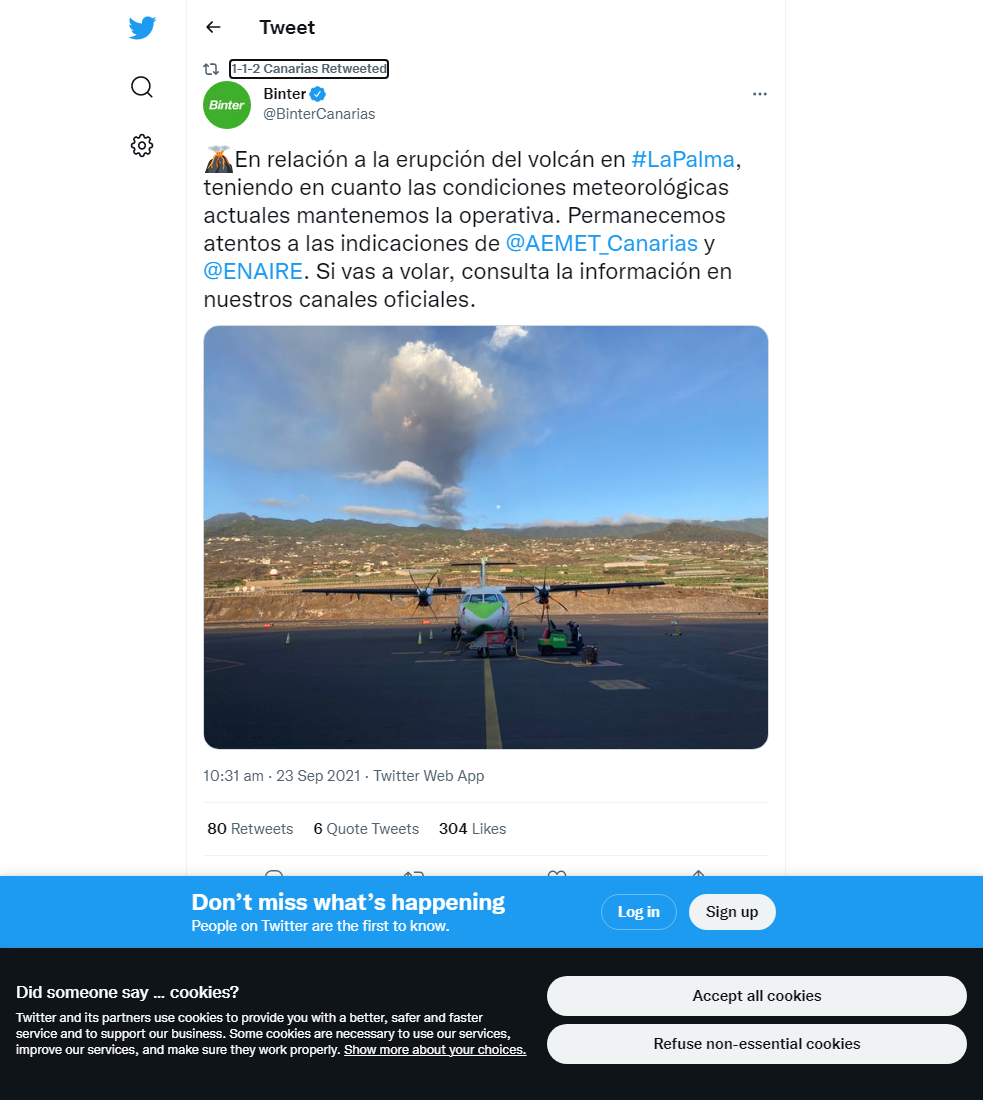
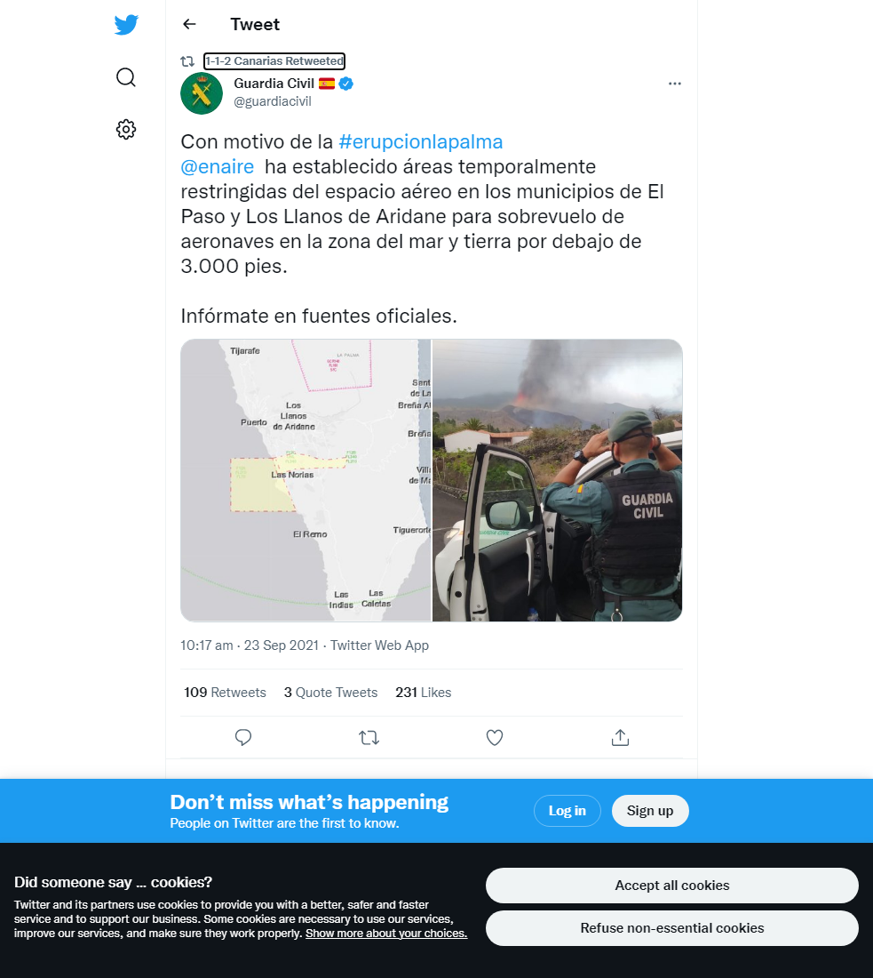
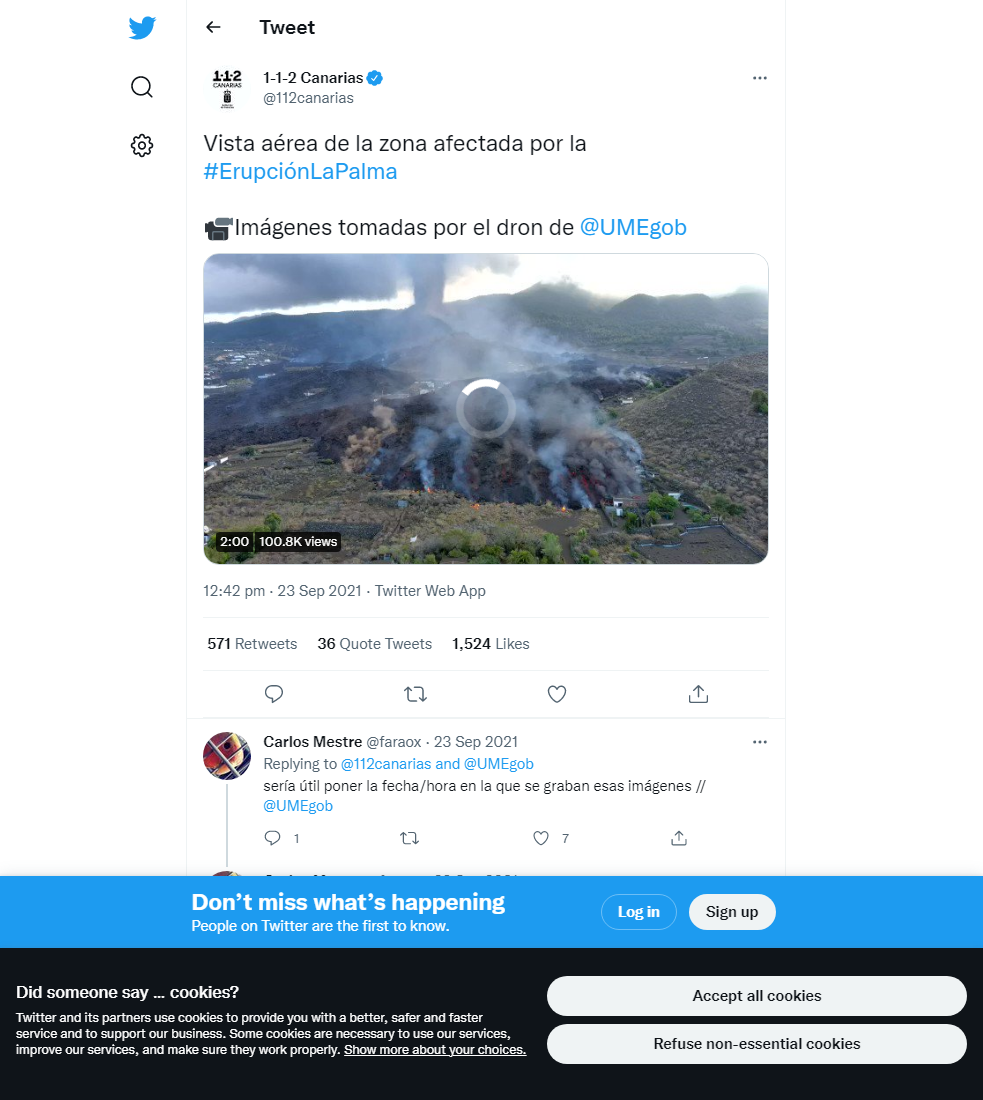
The two lava flow fronts, one to the north and one to the south, continue to advance slowly. The maximum length of the flow is now 3,800 m, with 2,100 m to go to reach the sea, and the flows now cover 220 hectares in total. The northern front moves at approximately 1 m per hour and is up to 12 m thick, whereas the southern front moves faster, at 4-5 m per hour. Current estimates of damage include about 300 homes already affected by the lava flows. The eruptive activity continues to show a strombolian mechanism, although with a more explosive and ash-rich behaviour. This more energetic activity is mirrored in the plume height, which is measured at around 4,500 m compared to 3,000 m on previous days, and the SO2 emissions, which are estimated at over 12,000 tons per day. Changes in the wind direction and increased height of the plume have led to the dispersal of ash eastwards towards Santa Cruz de La Palma and La Palma airport, causing disruption to its operations for the first time since the eruption began.
Some geophysical parameters also appear to correlate with changes in surface activity, for example increases have been seen in the volcanic tremor during more energetic and explosive phases of activity. Despite this increase in activity, air quality with respect to SO2 concentrations in nearby population centres has remained at a ‘good’ level across the surveillance network. Deformation for the moment remains stable across the network, with no patterns of inflation or deflation seen. Earthquake activity remains at a low level, with only 2 earthquakes recorded, peaking at 2.6 mbLg. However, it is worth noting that since the start of the eruption and commencement of constant volcanic tremor, small magnitude (<2.0) earthquakes cannot be recorded and located due to the noise from the volcanic tremor.

A photo of the eruption from the 23rd September showing the more ash-rich character compared to previous days. Image credit: INVOLCAN
Sources: Government of the Canary Islands, PEVOLCA, Involcan, IGN, DSN, Cabildo La Palma, 112 Canarias, Tolouse VAAC
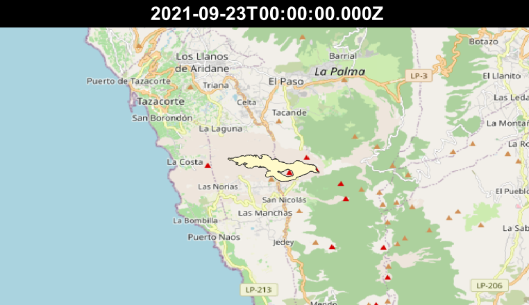
Exclusion zone map
Exclusion zones shown here have been approximated from press releases from the Cabildo de La Palma and will not be exact, nor claim to be official maps of the exclusion zones. For official information, please contact the Cabildo de La Palma.
Official social media
To see our full social media archive, visit our open data section or click here.
News articles
- BBC News – Miracle House´missed by lava flows – here
- Decanter – Wine troubles for La Palma due to the volcano – here
- EuroNews – Help from people for the locals affected by the eruption – here
To see our full news archive, visit our open data section or click here.
Found a broken web link? We have archived all of our news articles on the WayBack Machine. You can view the pages by 1. pasting the broken link into WayBack Machine and clicking ‘Browse History’ 2. clicking on the latest capture date and then 3. clicking ‘view capture’. Please let us know of any broken web links by contacting us at enquiries@geotenerife.com.
Eruption footage
News and Interviews
Witness Testimonies
Interactive Lava Flow Map
Notes: Use the button in the top right to open the map into full screen mode. Use the legend icon in the top left to see the legend and further information about the map. Click on individual days to see an outline of the lava flows on that day.
Interactive Earthquake Map
click here to enlarge
Notes: The size of the points represents the size of the earthquake, and the colour represents the depth. The map will also only show a certain number of points at once. For ease of use, we recommend you uncheck all dates and the satellite basemap from the legend in the top right, and inspect the earthquakes one day at a time.


Sorry, the comment form is closed at this time.