05 Dec La Palma eruption update 5th december 2021: New vents to the south-west are producing fluid lavas
La Palma eruption update 5th december 2021: New vents to the south-west are producing fluid lavas
Daily summary
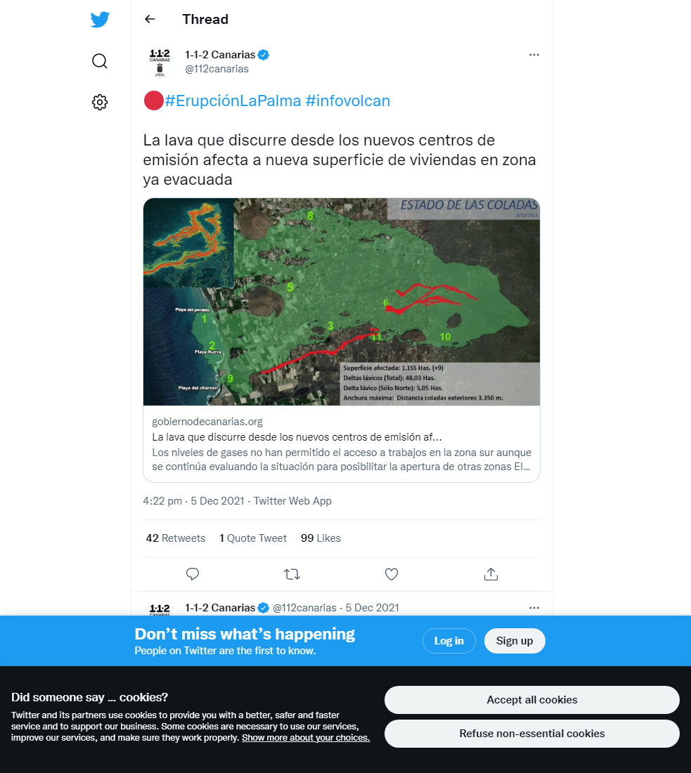
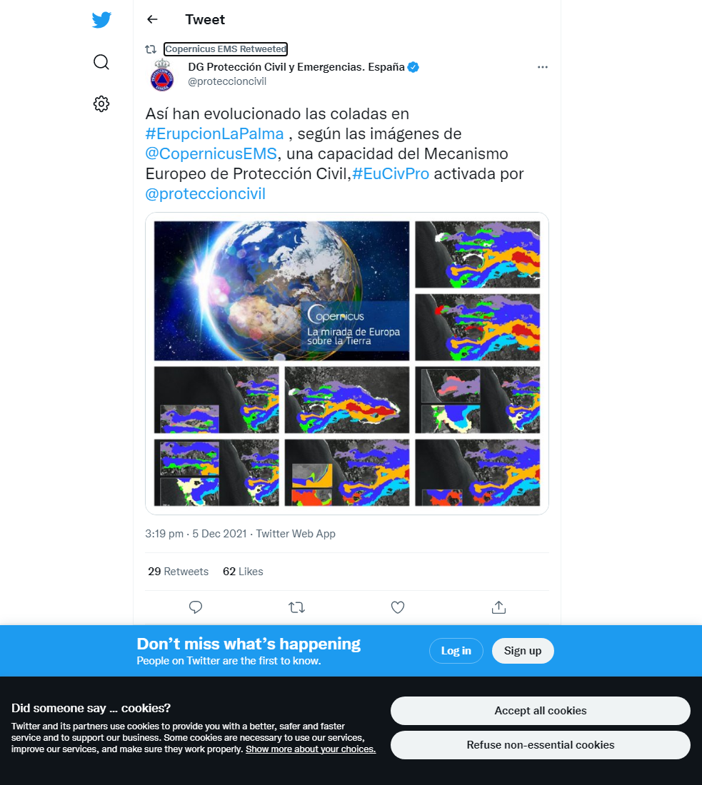
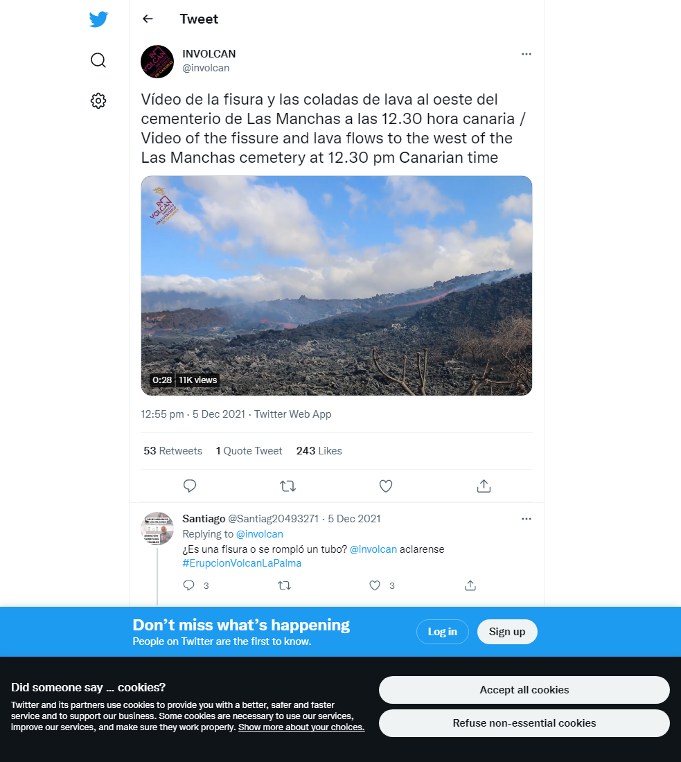
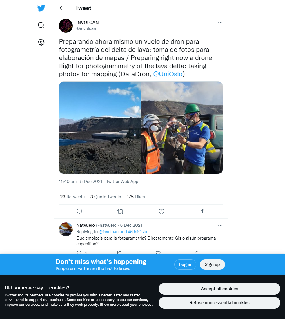
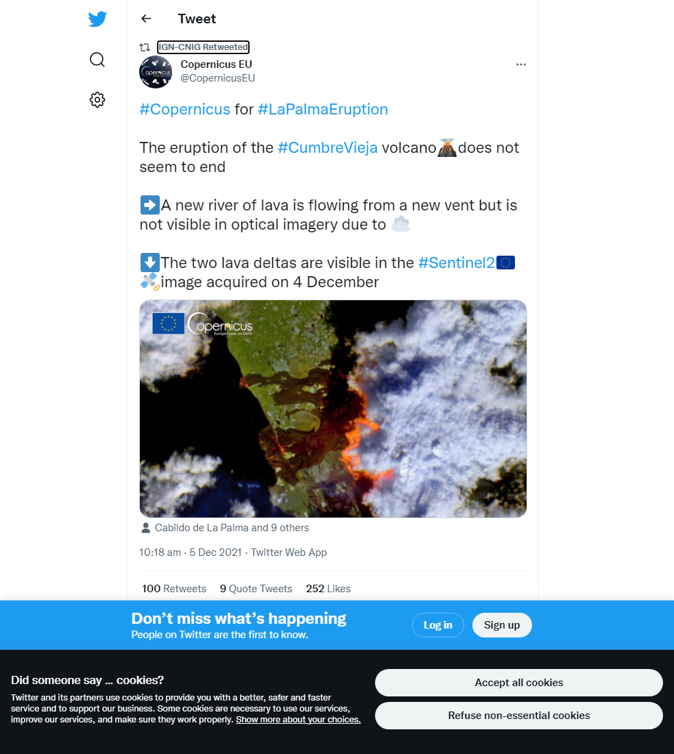
The eruption continues to show mixed activity from the main cone, with strombolian activity of varying intensity and explosiveness, producing both pyroclastic deposits and lava flows. The new fissure, which opened up oriented E-W west of Las Manches cemetery close to noon yesterday (04/12), continues to show effusive activity producing very fluid lava flows, which inundate new areas to the south of the current lava flow field, and has reached and reactivated the southern lava delta (flow 9). Elsewhere, other new emission points to the west of the main cone are feeding flows in the centre of the flow field, which join lava tubes heading towards flows 4 and 7. Latest figures from Copernicus estimate 2,897 buildings and 1,151 hectares are affected by the lava flow field, which is 3.35 km across and the widest point.
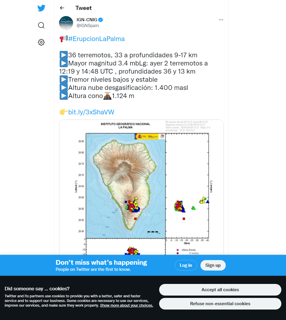
Seismicity remains low and concentrated at intermediate (10-20 km) depths, with 21 earthquakes being reported as of 22:49 local time, all <15 km deep, with a peak magnitude of 3.3. Deformation also remains stable, with the uplift measured at the Jedey (LP03) station having completely reversed as of today. However, SO2 emissions in the plume remain high, although in the long term they show a decreasing trend. Volcanic gas concentrations were at harmful levels in many of the evacuated zones, meaning access was only allowed to the Jedey area, although SO2 concentrations further away remain largely ‘good’ in all stations except Puntagorda, which as ‘regular’ SO2 levels.
The ongoing haze across the island, due largely to the presence of Saharan dust in the atmosphere has significantly impacted air quality in relation to PM10 levels. Since yesterday afternoon, the PM10 levels in all stations on the island has been categorised as ‘unfavourable’, and the daily limit value (50 μg/m3) was also exceeded in all stations. As a precaution, sensitive populations should consider reducing all outdoor activities, and the general population is asked to avoid prolonged or vigorous outdoor activities until PM10 levels become ‘reasonably good’ or better.
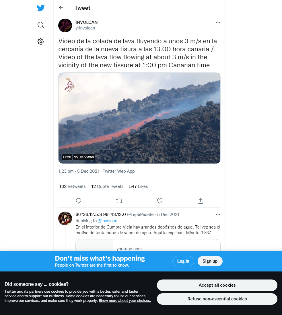
(Above) Fast moving lava flows captured flowing through the existing lava flow field on top of cooled lava flows. Video credit: INVOLCAN
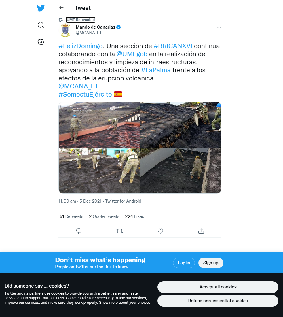
Sources: Government of the Canary Islands, PEVOLCA, Involcan, IGN, DSN, Cabildo La Palma, 112 Canarias, Tolouse VAAC, Copernicus EMS
Lava flows

Earthquakes

Exclusion zone map
Exclusion zones shown here have been approximated from press releases from the Cabildo de La Palma and will not be exact, nor claim to be official maps of the exclusion zones. For official information, please contact the Cabildo de La Palma.

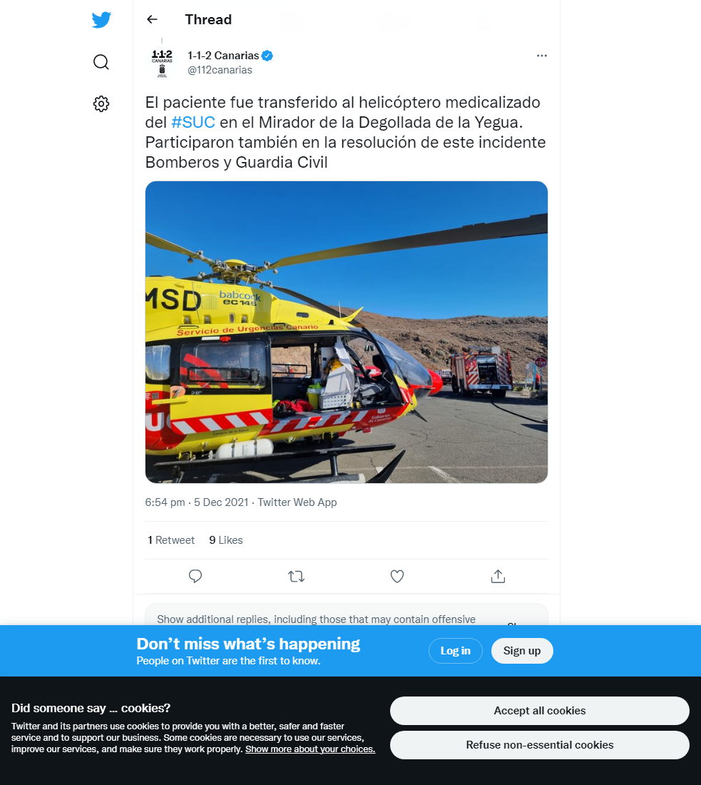
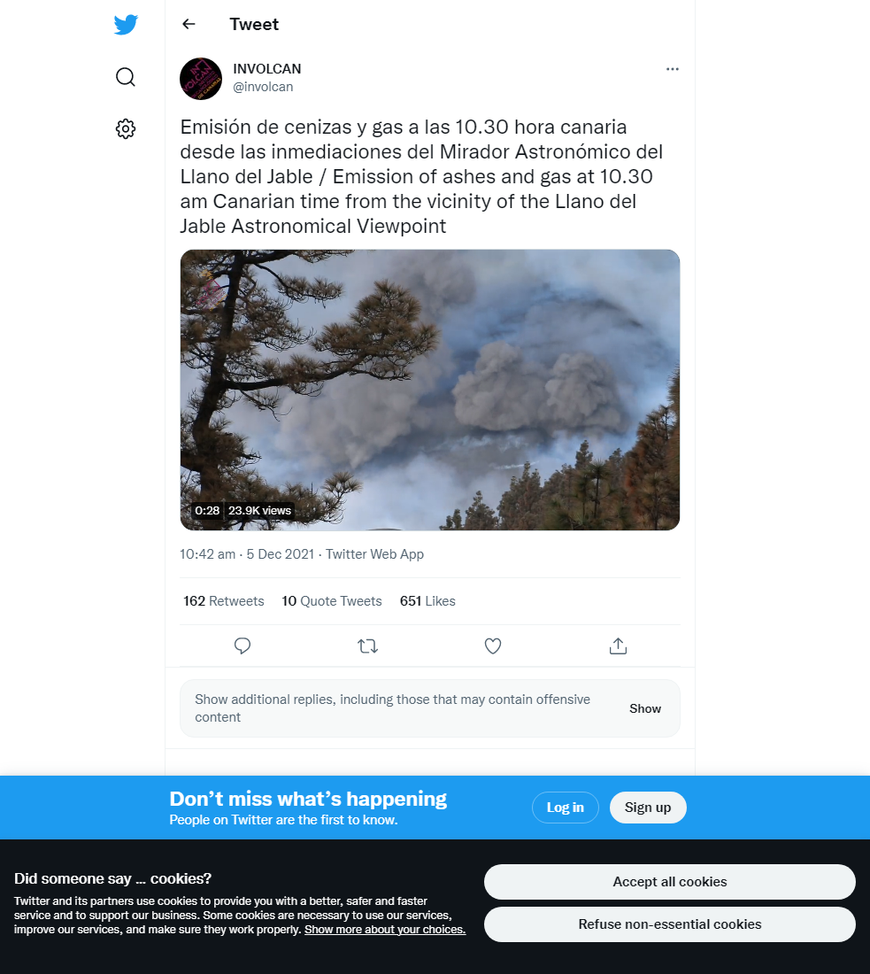
Official social media
To see our full social media archive, visit our open data section or click here.
News articles
- EuroWeekly News – New lava stream destroys more homes – here
- El País – The resistance of the Canarian Pine in La Palma – here
To see our full news archive, visit our open data section or click here.
Found a broken web link? We have archived all of our news articles on the WayBack Machine. You can view the pages by 1. pasting the broken link into WayBack Machine and clicking ‘Browse History’ 2. clicking on the latest capture date and then 3. clicking ‘view capture’. Please let us know of any broken web links by contacting us at enquiries@geotenerife.com.
Eruption footage
News and Interviews
Witness Testimonies
Interactive Lava Flow Map
Notes: Use the button in the top right to open the map into full screen mode. Use the legend icon in the top left to see the legend and further information about the map. Click on individual days to see an outline of the lava flows on that day.
Interactive Earthquake Map
click here to enlarge
Notes: The size of the points represents the size of the earthquake, and the colour represents the depth. The map will also only show a certain number of points at once. For ease of use, we recommend you uncheck all dates and the satellite basemap from the legend in the top right, and inspect the earthquakes one day at a time.
Sorry, the comment form is closed at this time.