🇪🇸¿Quieres leer la página del proyecto de reconstrucción de La Palma en español?🇮🇨
Puedes usar la función de traducción automática de Google Chrome
🇪🇸¿Quieres leer la página del proyecto de reconstrucción de La Palma en español?🇮🇨
Puedes usar la función de traducción automática de Google Chrome


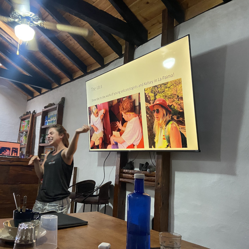
As a Geoscience education company, with a special interest in responsible science communication, based in the Canary Islands, we were in a unique position to document the 2021 Volcán de Tajogaite eruption in La Palma. We wanted to ensure our resources could be put to good use during the volcanic emergency and beyond to benefit the residents and tourists alike. The La Palma project by GeoTenerife is a multi-media project which aims to increase the awareness and understanding of volcanic activity, volcanic emergency plans, and reconstruction in La Palma. Our self-funded research on La Palma has led to our award-winning documentaries “Lava Bombs: Truths Behind the Volcano” and “Lava Bombs 2: The Reconstruction” is due for release in 2024. Our work is open access, in non-specialist language, and resident-focused.
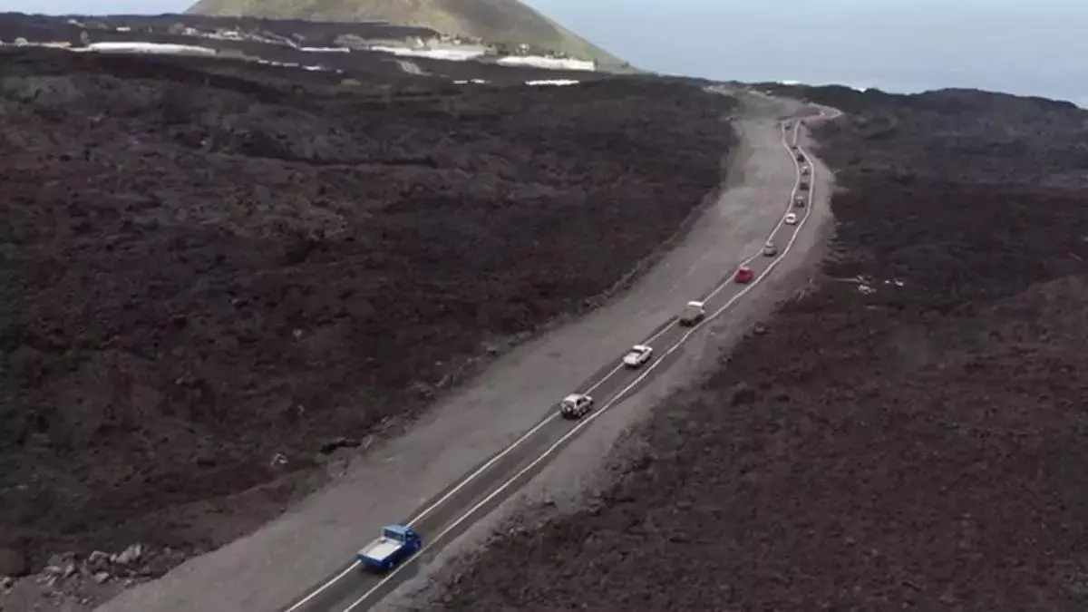
New study on failures of 'Neoliberal' reconstruction model in La Palma - 'Lava Bombs' documentary shown at Mt. Etna Observatory - Debates over €100 million from Spain for 2024 and the 60% income tax reduction in La Palma - Difficulties in reconstructing the LP-2 and LP-211 roads - 34 houses planned for those affected - Mass demonstrations against the Canaries' unsustainable tourism model - Spanish King and Queen visit La Palma - GENESIS project presented in Gran Canaria
Here are the charity campaigns we have supported/run for the affected residents of the La Palma eruption

Here you can find our glossary of Volcanic terms, complete with examples and explanations specific to the 2021 eruption on La Palma. You can download the glossary here in pdf or doc
ERRORS AND OMMISSIONS: VolcanoStories represents our best endeavour to reflect the eruption of Volcán de Tajogaite accurately, but we fully accept it may contain errors and omissions for which we apologise in advance and ask for your HELP. We encourage individuals or institutions who see an ERROR or who would like to CONTRIBUTE further material to help in this endeavour please contact us.
VolcanoStories content is freely available for students, educational establishments and academics – all we ask is that you cite “GeoTenerife’s VolcanoStories”.
However, the content is not to be used for commercial use. Any media or commercial outlet wanting to use any content herein should contact us in writing in the first instance via enquiries@geotenerife.com.
For more detail, refer to our Terms of Use.